Alabama
Fishing Atlas

Alabama Lakes

The state's lake fishery splits three ways. North holds the Tennessee River and the upper Coosa. Central runs the Coosa, Tallapoosa, middle Alabama River, and Tombigbee. South covers the Wiregrass and the Gulf Coast.

58
Lakes indexed
501,157
Acres covered
22
Species tracked
Apr 18, 2026
Last updated

North

TVA lakes and the Tennessee River corridor — Guntersville, Wheeler, Wilson, Pickwick — plus the upper Coosa from Weiss down. Hydrilla, milfoil, chunk rock, and tailwater current.
26 lakes indexed · 275,023 acres
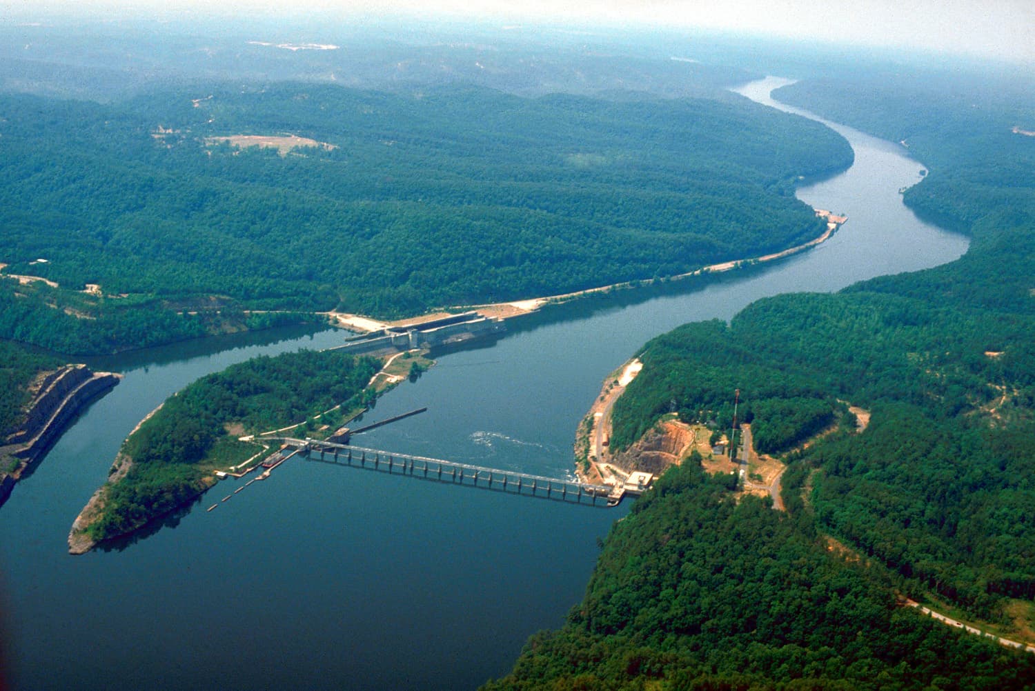
USACE Bankhead Lock and Dam on the Black Warrior River — Holt Lake below (top), Bankhead Lake behind the dam (bottom), view downriver to the west

Bankhead Lake

Bankhead Lake fishing covers 9,200 Black Warrior River acres 20 miles west of Birmingham — USACE impoundment built for largemouth, river-run spotted bass, hy…
9,200 acres6 species6 ramps
Fish Bankhead Lake
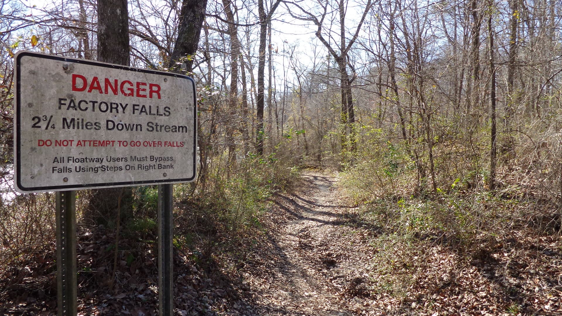
Bear Creek in Franklin County, Alabama — the flowing-stream watershed that TVA impounds to form Big Bear Creek Reservoir. Photo shows the free-flowing creek, not the reservoir pool itself.

Big Bear Creek Reservoir

Big Bear Creek Reservoir is a 670-acre TVA flood-control and water-supply pool on Bear Creek at the Franklin–Marion county line in northwest Alabama — third …

670 acres5 species3 ramps
Fish Big Bear Creek Reservoir
Bear Creek in Franklin County, Alabama — the parent watershed of Cedar Creek (a Bear Creek tributary that TVA impounds to form Cedar Creek Reservoir). Photo shows the flowing Bear Creek drainage, not the Cedar Creek pool itself.

Cedar Creek Reservoir

Cedar Creek Reservoir is a 4,200-acre TVA flood-control pool in Franklin County, Alabama — largest of the four Bear Creek Lakes, closed 1979, anchored by Sli…
4,200 acres5 species4 ramps
Fish Cedar Creek Reservoir
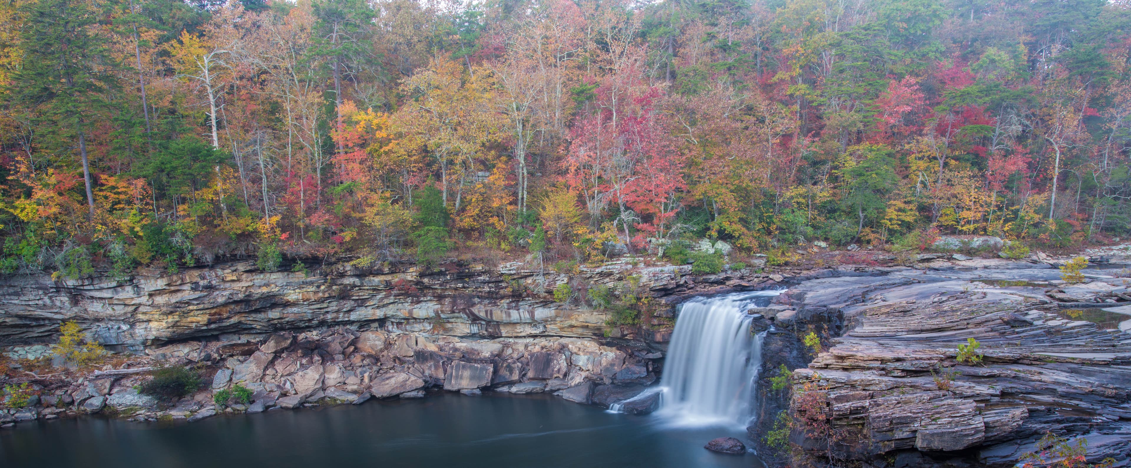
Little River Canyon National Preserve near Fort Payne, Alabama — the Sand Mountain canyon country surrounding DeKalb County Public Fishing Lake one mile north of Sylvania

DeKalb County Public Fishing Lake

DeKalb County Public Fishing Lake is a 120-acre ADCNR State Public Fishing Lake on Sand Mountain one mile north of Sylvania — stocked with largemouth, bluegi…
120 acres4 species1 ramps
Fish DeKalb County Public Fishing Lake
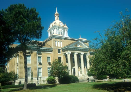
Fayette County Courthouse in downtown Fayette, Alabama — the west Alabama county seat six miles northwest of Fayette County Public Fishing Lake

Fayette County Public Fishing Lake

Fayette County Public Fishing Lake is a 60-acre ADCNR catch-and-release bass, bream, and channel catfish lake six miles southeast of Fayette with a boat ramp…
60 acres3 species1 ramps
Fish Fayette County Public Fishing Lake
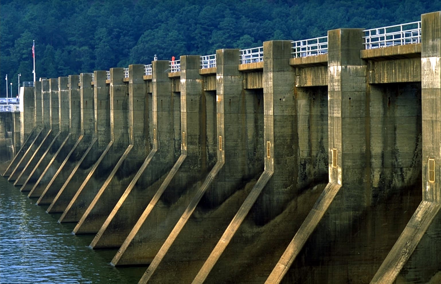
Guntersville Dam on the Tennessee River in Marshall County, Alabama — TVA hydroelectric dam impounding Lake Guntersville with tailwaters feeding the head of Wheeler Lake

Guntersville Dam Tailrace

The Guntersville Dam tailrace sits at Tennessee River mile 349 below TVA's 1939 Guntersville Dam — the head of Wheeler Lake pool, known for autumn and winter…
Tailwater reach — not an impoundment (no surface-acreage figure)8 species1 ramps
Fish Guntersville Dam Tailrace
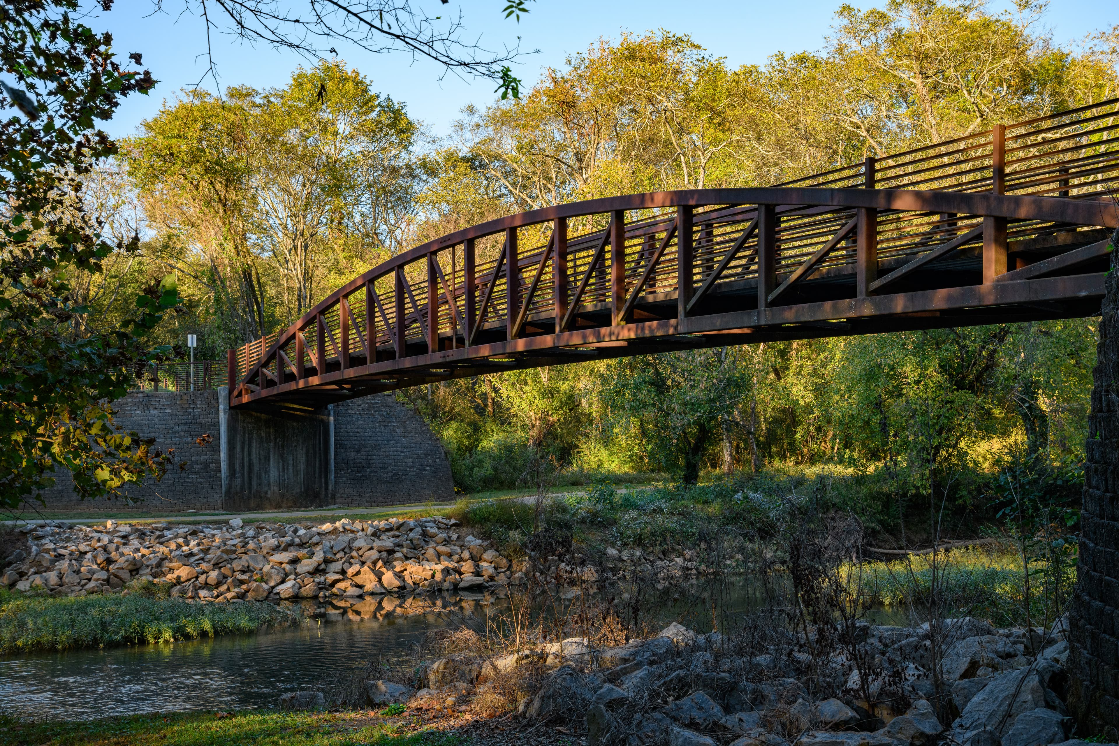
Flint River Greenway bridge inside Hays Nature Preserve in Huntsville, Alabama — lowland riparian crossing on the preserve's 10-mile trail system

Hays Nature Preserve

Hays Nature Preserve is a 538-acre City of Huntsville preserve where anglers fish Bar Lake — a Flint River oxbow with a 2024 ADA pier — no license required, …
538 acres (entire preserve; Bar Lake itself is a small oxbow pond within the preserve — acreage not individually published)3 species1 ramps
Fish Hays Nature Preserve
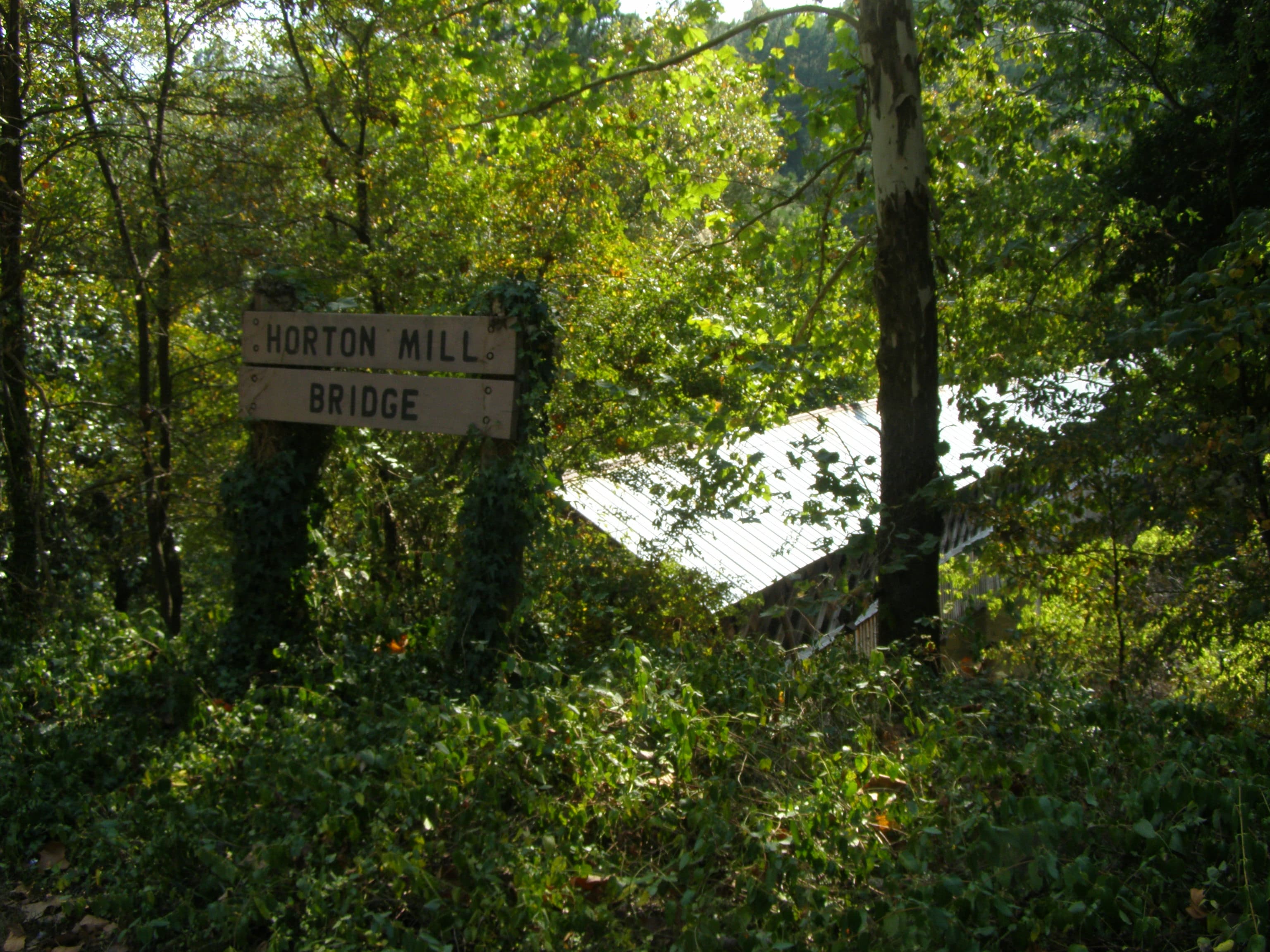
Horton Mill Covered Bridge in Blount County, Alabama — one of three historic covered bridges in the county, near Inland Lake

Inland Lake

Inland Lake is a 1,557-acre Birmingham Water Works reservoir on the Blackburn Fork in Blount County — clear, deep (mean depth 77 ft), 32 miles of shoreline, …
1,557 acres5 species2 ramps
Fish Inland Lake
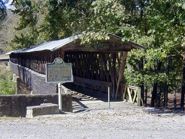
Clarkson-Legg Covered Bridge in Cullman County, Alabama — one of Alabama's longest covered bridges, about 15 minutes from Lake Catoma on Eightmile Creek

Lake Catoma

Lake Catoma is a 536-acre City of Cullman water-supply reservoir on Eightmile Creek in Cullman County, impounded 1966, 25-HP motor limit by city ordinance, w…
536 acres4 species1 ramps
Fish Lake Catoma
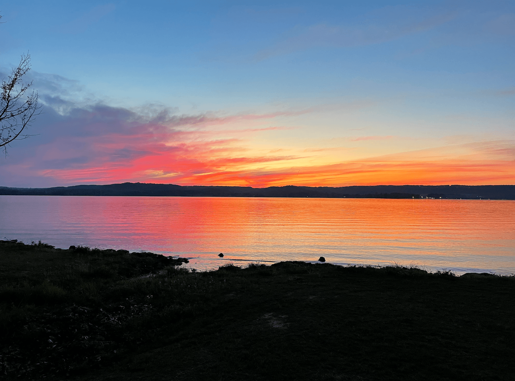
April sunset over Lake Guntersville at the Brown's Creek embayment

Lake Guntersville

Lake Guntersville is a 69,000-acre TVA impoundment on the Tennessee River that produces giant bass year-round, thanks to milfoil and hydrilla beds that give …
69,000 acres8 species8 ramps
Fish Lake Guntersville
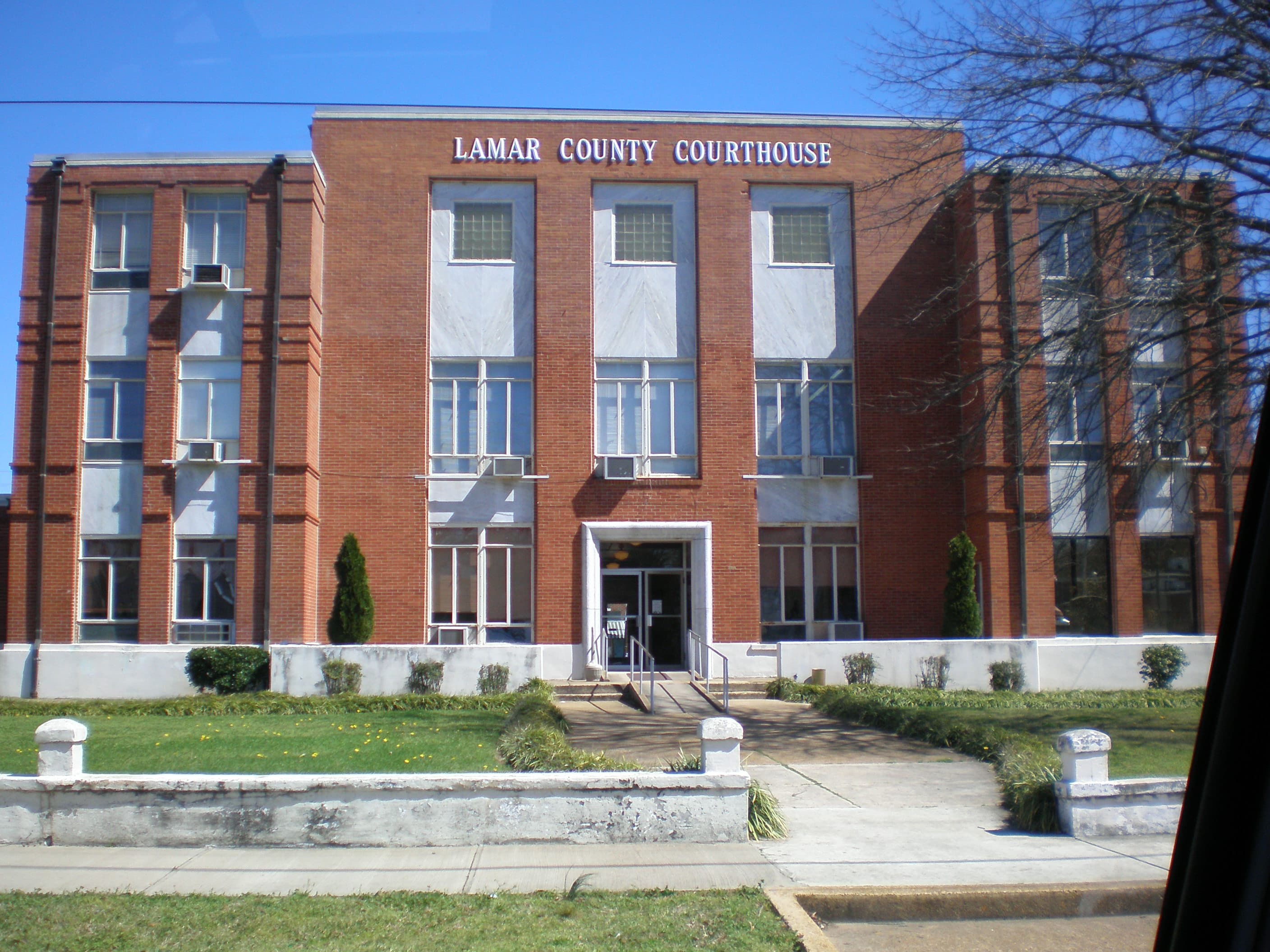
Lamar County Courthouse in Vernon, Alabama — the Lamar County seat, eight miles east of Lamar County Public Fishing Lake

Lamar County Public Fishing Lake

Lamar County Public Fishing Lake is a 68-acre ADCNR lake eight miles west of Vernon — stocked with bass, bream, crappie, catfish, and hybrid stripers, with o…
68 acres5 species1 ramps
Fish Lamar County Public Fishing Lake
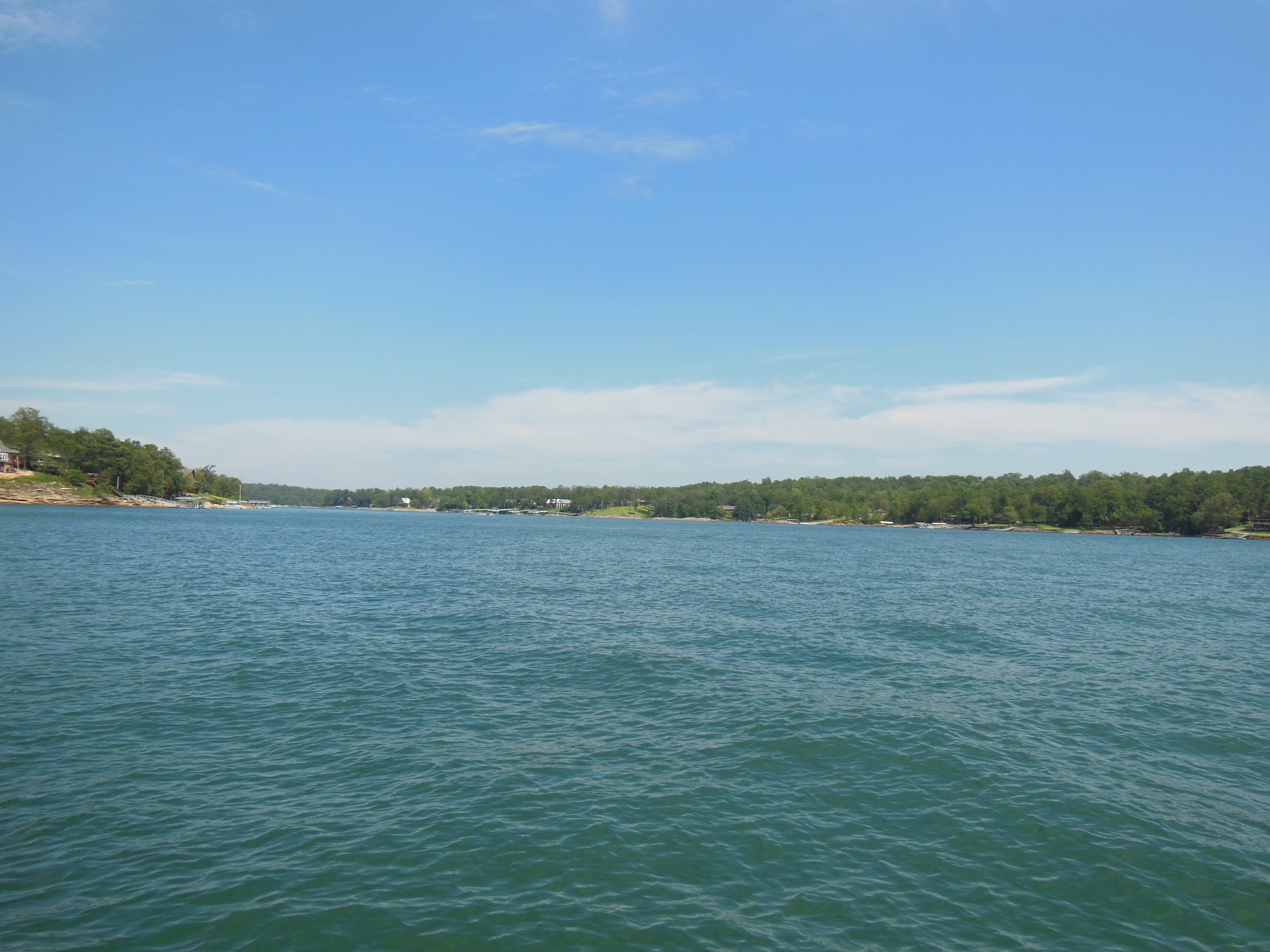
View from the water of Lewis Smith Lake, Alabama — forested shoreline and gin-clear water

Lewis Smith Lake

Lewis Smith Lake is a 21,200-acre Alabama Power reservoir on the Sipsey Fork of the Black Warrior, impounded by Smith Dam in 1961 — 264 feet deep, gin-clear,…
21,200 acres7 species5 ramps
Fish Lewis Smith Lake
Bear Creek in Franklin County, Alabama — the parent watershed of Little Bear Creek Reservoir, photographed in the Bear Creek system near the four TVA reservoirs west of Russellville

Little Bear Creek Reservoir

Little Bear Creek Reservoir is a 1,560-acre TVA flood-control impoundment west of Russellville in Franklin County, Alabama — closed in 1976, one of four BCDA…
1,560 acres5 species3 ramps
Fish Little Bear Creek Reservoir
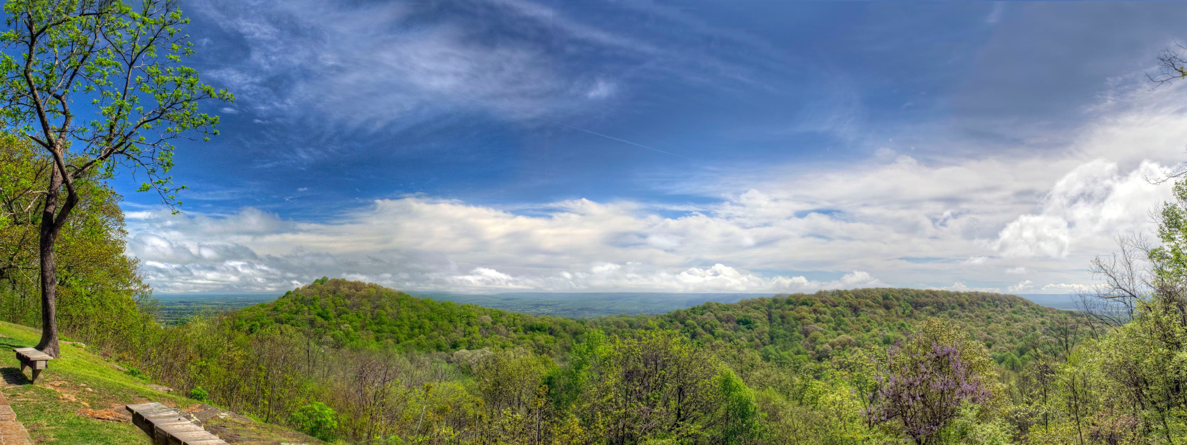
Monte Sano State Park overlook in springtime above Huntsville, Alabama — the Tennessee Valley landscape surrounding Madison County Public Fishing Lake near Gurley

Madison County Public Fishing Lake

Madison County Public Fishing Lake is a 105-acre ADCNR State Public Fishing Lake at 2501 County Lake Road in Gurley — 11 miles east of Huntsville, stocked wi…
105 acres4 species1 ramps
Fish Madison County Public Fishing Lake
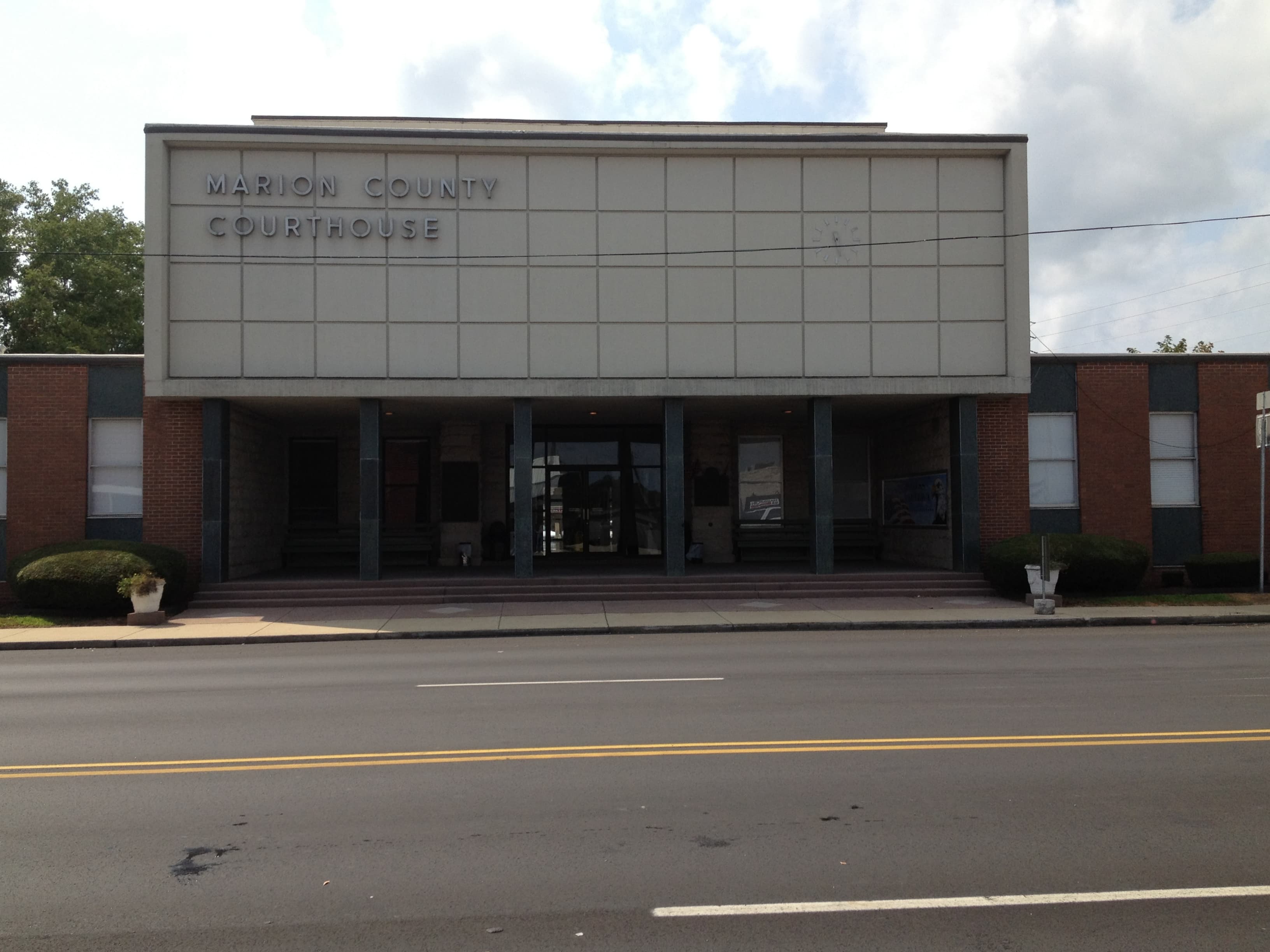
Marion County Courthouse in Hamilton, Alabama — the Marion County seat, one mile from Marion County Public Fishing Lake via U.S. Highway 43

Marion County Public Fishing Lake

Marion County Public Fishing Lake is a 37-acre ADCNR bass, bream, crappie, and channel catfish lake between Hamilton and Guin with an ADA fishing pier — temp…
37 acres4 species1 ramps
Fish Marion County Public Fishing Lake
Neely Henry Dam and Powerhouse on the Coosa River near Ohatchee, Alabama

Neely Henry Lake

This fishing report Neely Henry Lake Alabama anglers bookmark covers 11,200 acres of Coosa River reservoir near Gadsden — built river-run between Weiss and L…
11,200 acres8 species6 ramps
Fish Neely Henry Lake
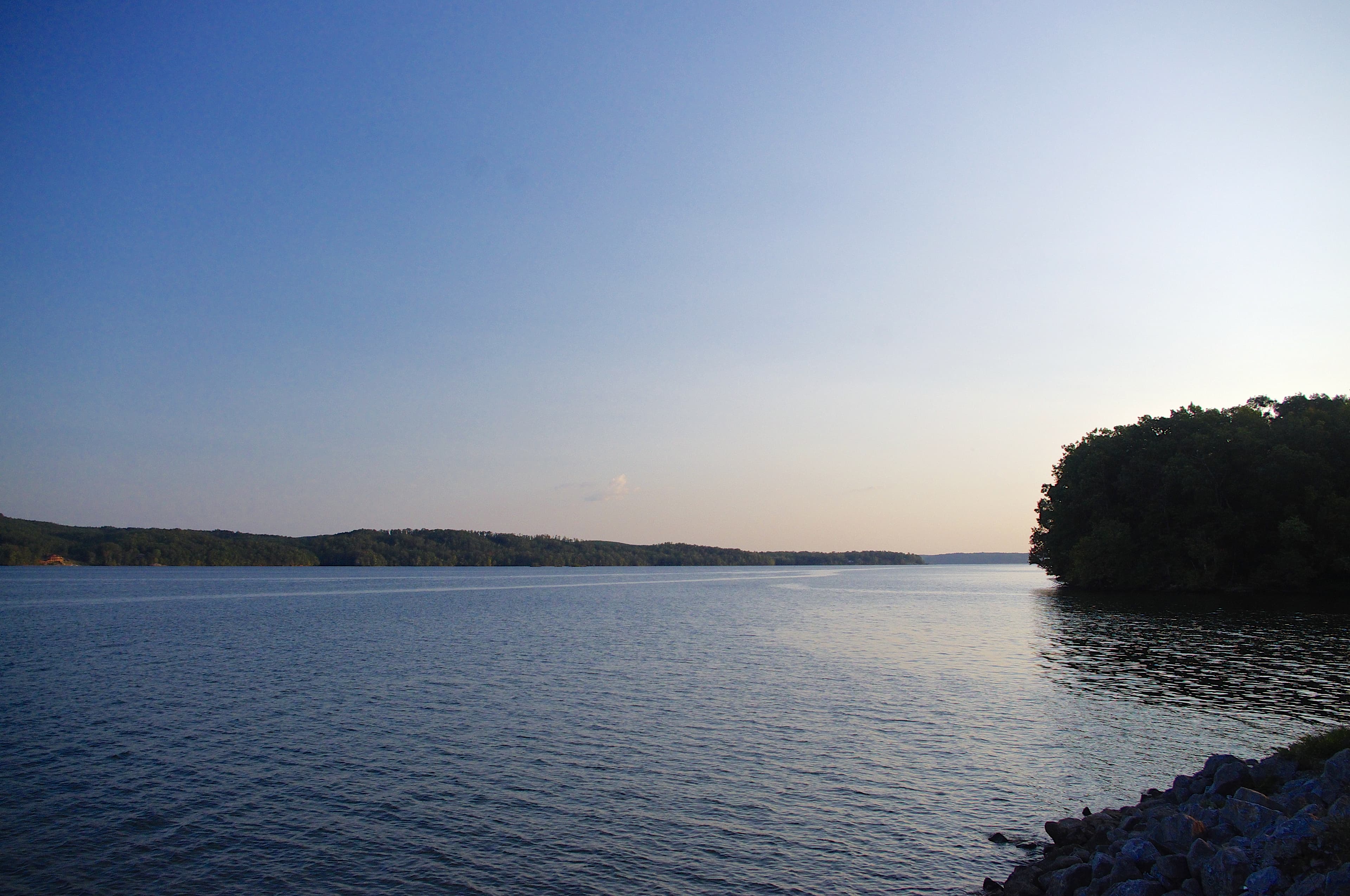
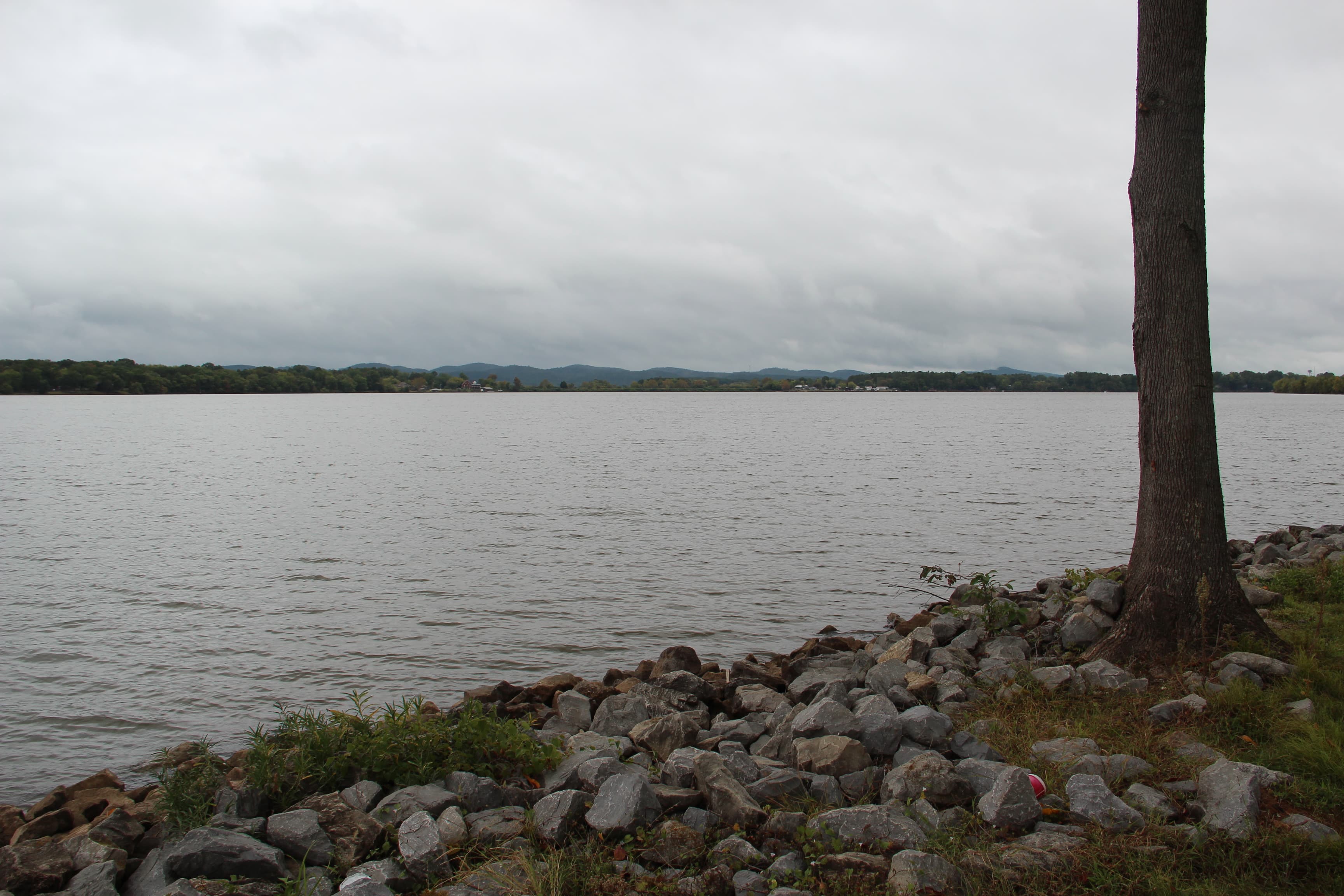
Pickwick Lake open water looking southwest from Waterloo, Alabama

Pickwick Lake

Pickwick Lake is a 43,100-acre TVA reservoir on the Tennessee River spanning Alabama, Mississippi, and Tennessee, closed by Pickwick Landing Dam in 1938 and …
43,100 acres8 species3 ramps
Fish Pickwick Lake
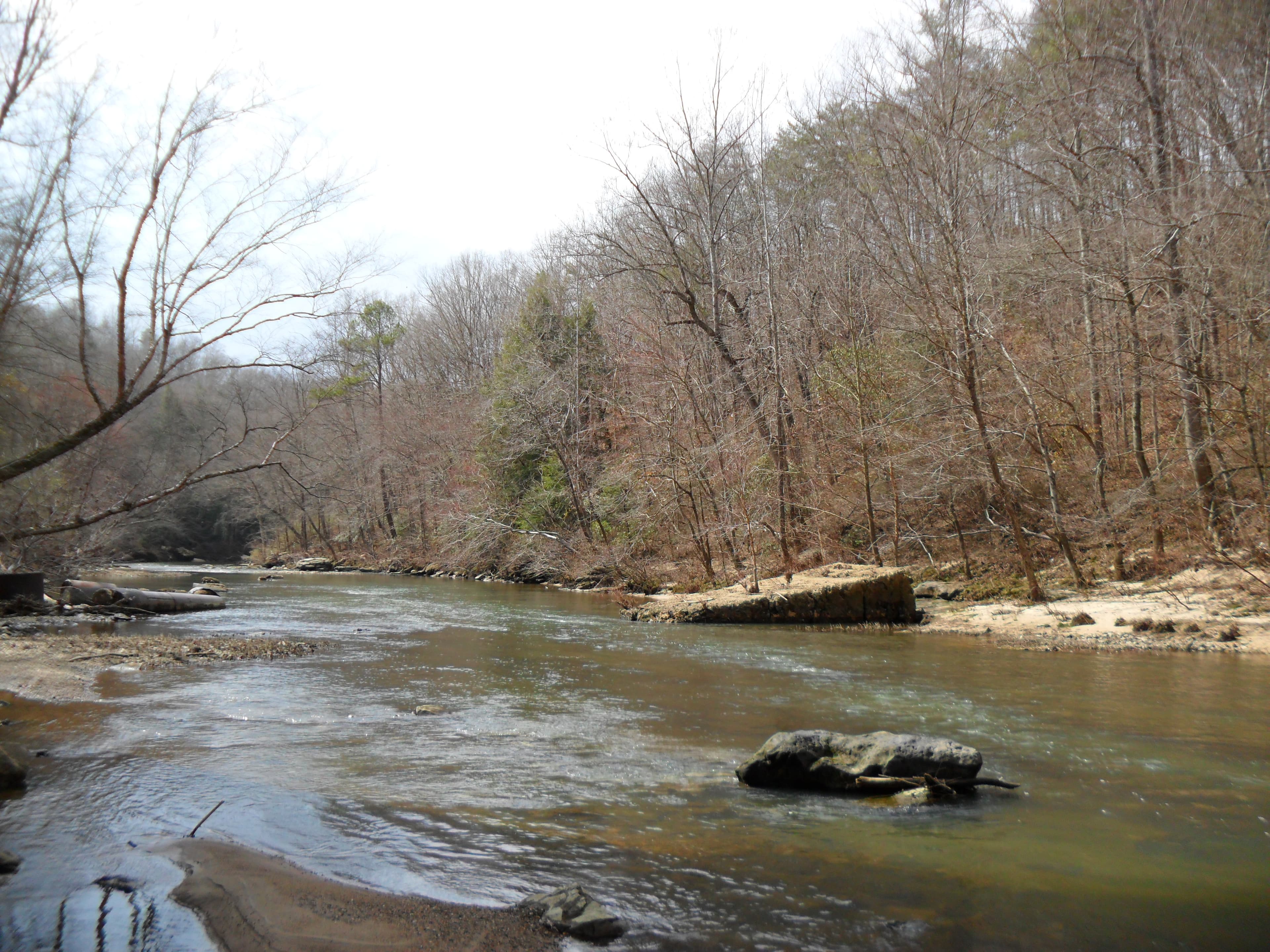
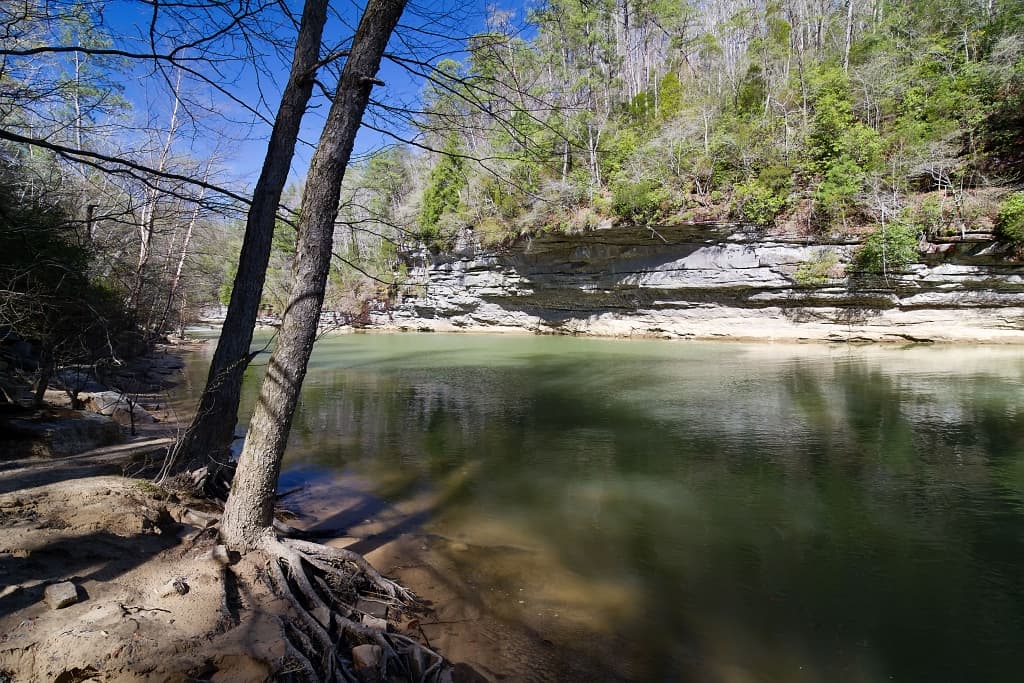
Sipsey Fork river in the William B. Bankhead National Forest, Alabama — cold tailwater trout stream flowing through hardwood forest below Smith Dam

Sipsey Fork Trout Tailwater

The Sipsey Fork below Lewis Smith Dam is Alabama's only year-round rainbow trout fishery — a cold tailwater fed by Smith Dam's hypolimnetic release, stocked …
Tailwater reach — not an impoundment (no surface-acreage figure)4 species1 ramps
Fish Sipsey Fork Trout Tailwater
Ave Maria Grotto in Cullman, Alabama — miniature stone reproductions of famous religious buildings on the grounds of St. Bernard Abbey, near Sportsman Lake Park

Sportsman Lake

Sportsman Lake is the shallow lake at the center of Sportsman Lake Park in Cullman — a Cullman County family park with mini-golf, a train ride, pedal boats, …

Shallow park lake — official acreage not published4 species1 ramps
Fish Sportsman Lake
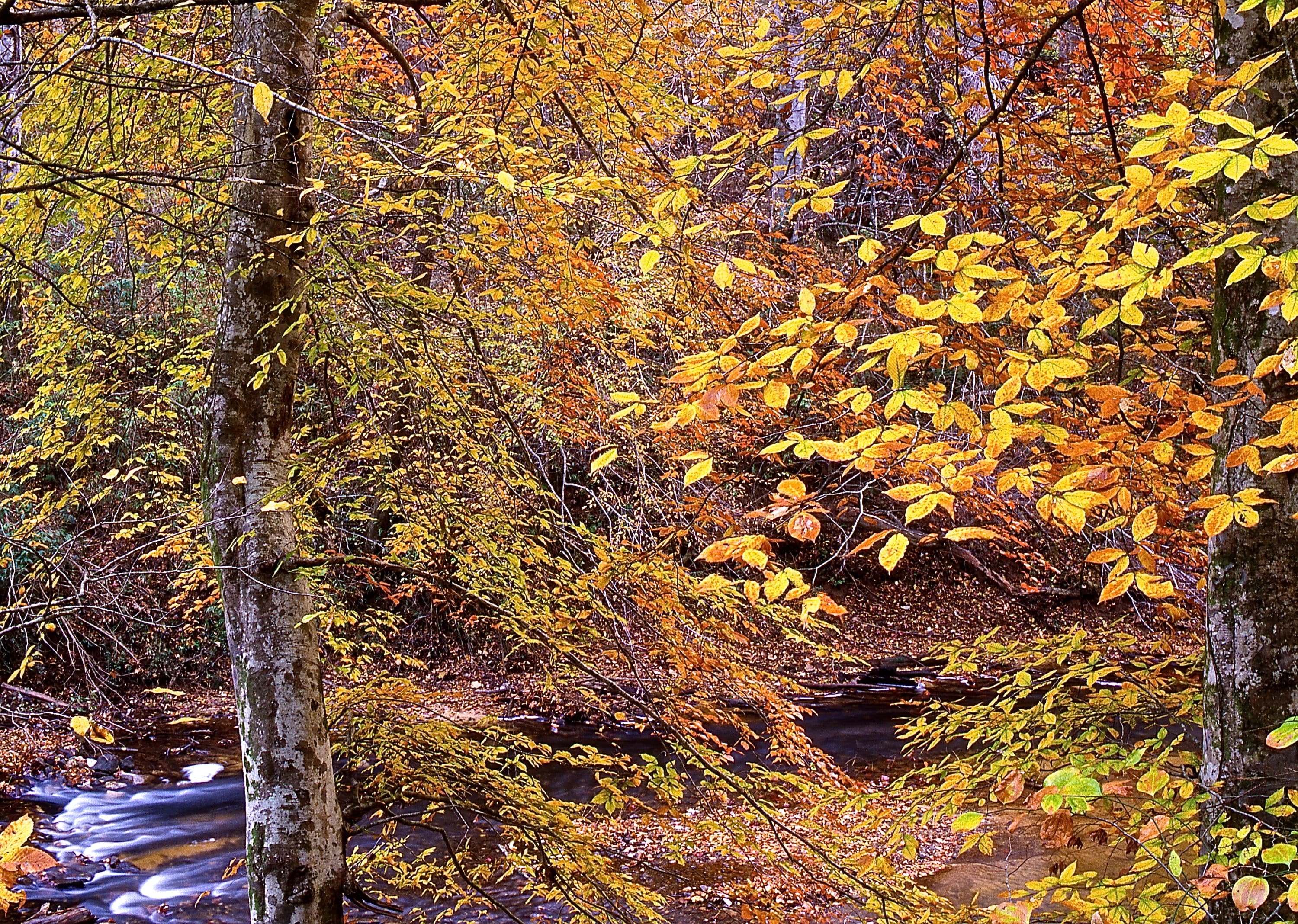
Bear Creek in Marion County, Alabama — clear-water Appalachian-plateau stream photographed in the Bear Creek watershed near Upper Bear Creek Dam

Upper Bear Creek Reservoir

Upper Bear Creek Reservoir is a TVA flood-control impoundment on Bear Creek at the Franklin–Winston–Marion county corner in northwest Alabama — closed by Upp…
N/A (published by TVA as a narrow, 14-mile headwater reservoir in the Bear Creek system)5 species3 ramps
Fish Upper Bear Creek Reservoir
Clear Creek in William B. Bankhead National Forest near Walker County — the north Alabama forest and watershed country that surrounds Walker County Public Fishing Lake three miles southeast of Jasper

Walker County Public Fishing Lake

Walker County Public Fishing Lake is a 163-acre ADCNR State Public Fishing Lake three miles southeast of Jasper off U.S. 78, stocked with bass, bream, catfis…
163 acres4 species1 ramps
Fish Walker County Public Fishing Lake
Weiss Lake, Alabama — Coosa River impoundment on the Alabama-Georgia line

Weiss Lake

Weiss Lake is the Crappie Capital of the World — 30,200 acres of Coosa River impoundment that out-produces every Alabama lake for crappie and stacks ledge ba…
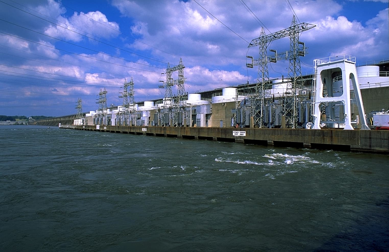
30,200 acres7 species8 ramps
Fish Weiss Lake
Wheeler Dam on the Tennessee River, Alabama — TVA hydroelectric dam impounding Wheeler Lake with tailwaters feeding Wilson Lake

Wheeler Dam Tailrace

The Wheeler Dam tailrace sits at river mile 274.9 on the Tennessee River — the cold, current-fed head of the Wilson Lake pool below TVA's 1936 Wheeler Dam, f…

Tailwater reach — not an impoundment (no surface-acreage figure)7 species1 ramps
Fish Wheeler Dam Tailrace
Wheeler Dam on the Tennessee River, Alabama — TVA hydroelectric dam impounding Wheeler Lake

Wheeler Lake

Wheeler Lake is a 67,100-acre TVA impoundment on the Tennessee River, closed by Wheeler Dam in 1936 and built for crappie, largemouth, and tailwater smallmou…
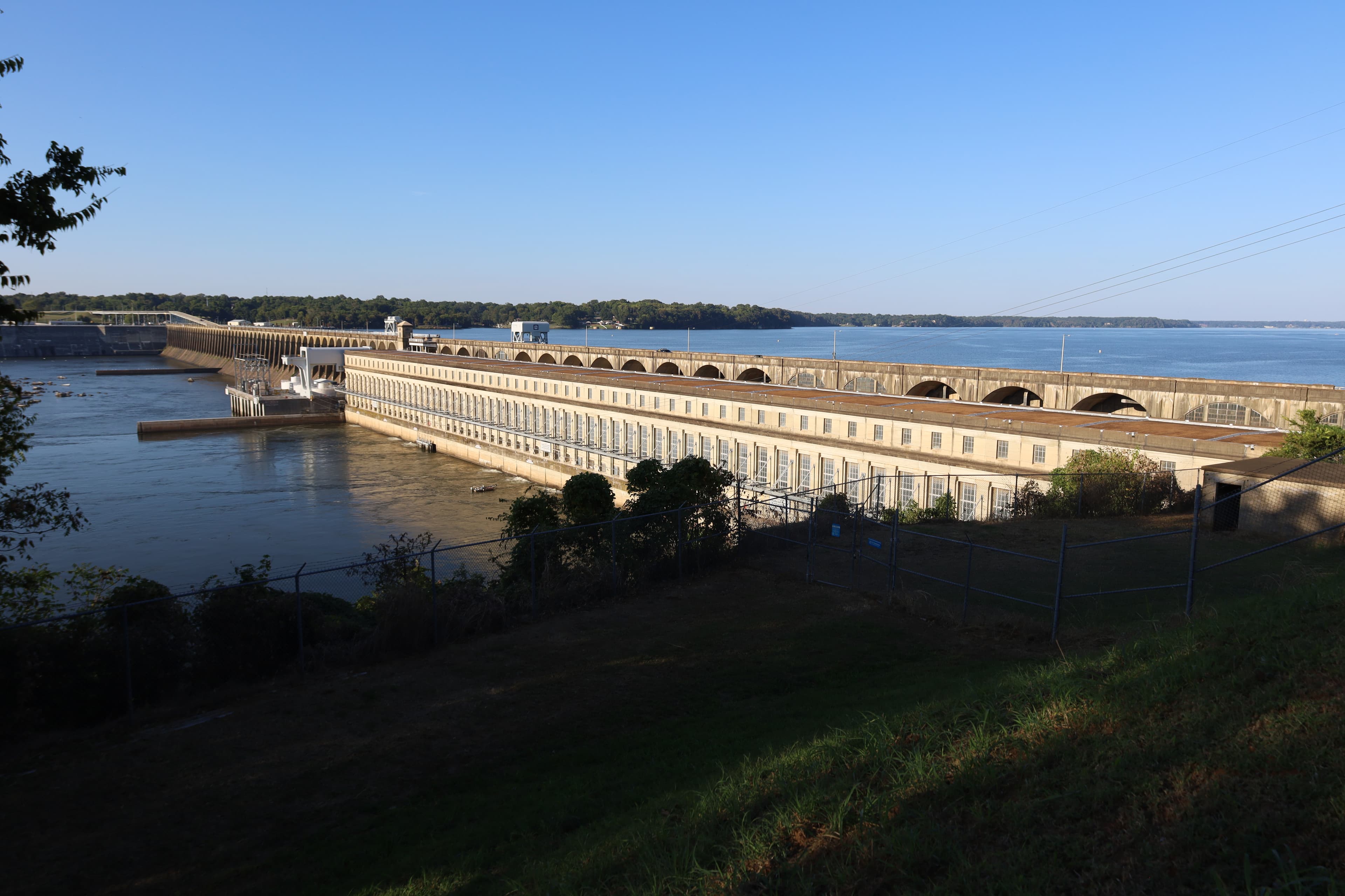
67,100 acres8 species9 ramps
Fish Wheeler Lake
Wilson Dam on the Tennessee River from the south in 2025 — TVA hydroelectric dam with tailwaters feeding Pickwick Lake at Florence and Muscle Shoals, Alabama

Wilson Dam Tailrace

The Wilson Dam tailrace sits at Tennessee River mile 259.4 below TVA's 1924 Wilson Dam — the head of the Pickwick pool at Florence, famous for big smallmouth…

Tailwater reach — not an impoundment (no surface-acreage figure)8 species1 ramps
Fish Wilson Dam Tailrace
Wilson Dam on the Tennessee River, viewed from the south in 2025 — oldest dam in the TVA system

Wilson Lake

Wilson Lake is a 15,500-acre TVA reservoir on the Tennessee River, closed by Wilson Dam in 1924 — the oldest dam under TVA administration — and fished nation…

15,500 acres8 species4 ramps
Fish Wilson Lake

Central

The Coosa, Tallapoosa, middle Alabama River, and Tombigbee. Martin, Logan Martin, Lay, Jordan, Warrior, Demopolis — clear-water spotted bass on rock and river-run largemouth on stumps.
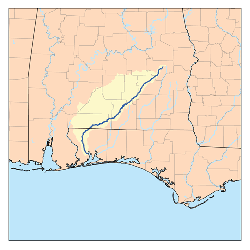
22 lakes indexed · 173,417 acres
Tennessee-Tombigbee Waterway map placeholder — Aliceville Lake is the 8,300-acre USACE pool at the Tom Bevill Lock & Dam. CC-licensed Aliceville photo not yet sourced; Phase 2 action.

Aliceville Lake

Aliceville Lake Alabama fishing covers 8,300 Tombigbee River acres in Pickens and Sumter counties — USACE Tom Bevill Lock & Dam pool (formerly Aliceville L&D…

8,300 acres5 species2 ramps
Fish Aliceville Lake
Alabama map placeholder — Bibb County Public Fishing Lake is a 100-acre ADCNR-managed Public Fishing Lake in Bibb County. Verified CC-licensed photo not yet sourced for this PFL.

Bibb County Public Fishing Lake

Bibb County Public Fishing Lake fishing covers 100 stocked acres near Centreville in Bibb County — ADCNR Wildlife and Freshwater Fisheries lake with largemou…

100 acres5 species1 ramps
Fish Bibb County Public Fishing Lake
Alabama map placeholder — Chambers County Public Fishing Lake is a 180-acre ADCNR-managed Public Fishing Lake in Chambers County. Verified CC-licensed photo not yet sourced for this PFL.

Chambers County Public Fishing Lake

Chambers County Public Fishing Lake fishing covers 180 stocked acres near Lafayette in Chambers County — ADCNR Wildlife and Freshwater Fisheries lake with la…

180 acres5 species1 ramps
Fish Chambers County Public Fishing Lake
Alabama River system map placeholder — Claiborne Lake is the southernmost 2,310-acre USACE pool at Alabama River mile 72.5. CC-licensed Claiborne photo not yet sourced.

Claiborne Lake

Claiborne Lake Alabama fishing covers 2,310 Alabama River acres in Monroe and Clarke counties — the southernmost and smallest of the three Alabama River impo…

2,310 acres5 species2 ramps
Fish Claiborne Lake
Alabama map placeholder — Clay County Public Fishing Lake is a 74-acre ADCNR-managed Public Fishing Lake in Clay County. Verified CC-licensed photo not yet sourced for this PFL.

Clay County Public Fishing Lake

Clay County Public Fishing Lake fishing covers 74 stocked acres near Delta in Clay County — ADCNR Wildlife and Freshwater Fisheries lake with largemouth bass…

74 acres5 species1 ramps
Fish Clay County Public Fishing Lake
Tennessee-Tombigbee Waterway map placeholder — Coffeeville Lake is the 8,500-acre USACE pool at Coffeeville Lock & Dam, southernmost Tombigbee impoundment. CC-licensed Coffeeville photo not yet sourced; Phase 2 action.

Coffeeville Lake

Coffeeville Lake Alabama fishing covers 8,500 Tombigbee River acres in Clarke and Choctaw counties — the southernmost Central-Alabama Tombigbee pool, built 1…

8,500 acres5 species2 ramps
Fish Coffeeville Lake
Alabama map placeholder — Dallas County Public Fishing Lake is a 100-acre ADCNR-managed Public Fishing Lake in Dallas County. Verified CC-licensed photo not yet sourced for this PFL.

Dallas County Public Fishing Lake

Dallas County Public Fishing Lake fishing covers 100 stocked acres near Selma in Dallas County — ADCNR Wildlife and Freshwater Fisheries lake with largemouth…

100 acres5 species1 ramps
Fish Dallas County Public Fishing Lake
Alabama River system map placeholder — Dannelly Reservoir (Millers Ferry Lake) is the 27-square-mile USACE pool between Woodruff and Claiborne. CC-licensed Dannelly photo not yet sourced.

Dannelly Reservoir

Dannelly Reservoir Alabama fishing covers 17,280 Alabama River acres in Wilcox and Dallas counties — largest of three Alabama River pools, built 1974, for la…
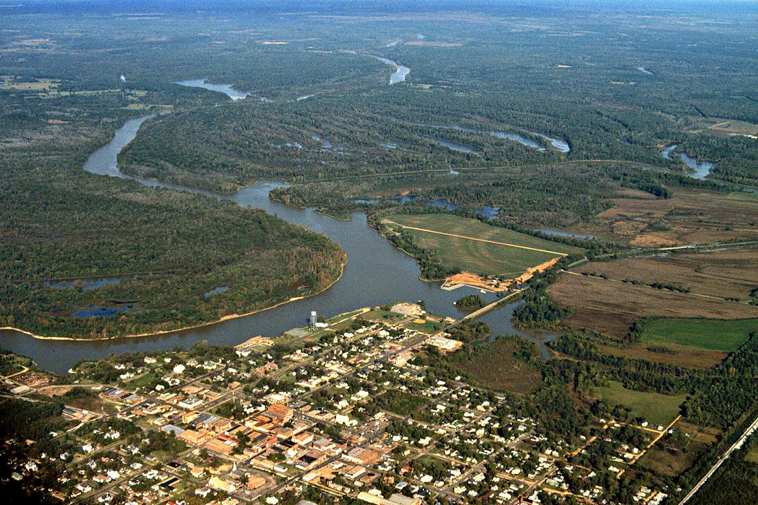
17,280 acres5 species3 ramps
Fish Dannelly Reservoir
Aerial view of Demopolis, Alabama showing the confluence of the Black Warrior and Tombigbee rivers at the head of Demopolis Lake

Demopolis Lake

Demopolis Lake fishing covers 10,000 acres of USACE reservoir at the confluence of the Tombigbee and Black Warrior rivers in Marengo County, impounded in 195…

10,000 acres6 species3 ramps
Fish Demopolis Lake
Tennessee-Tombigbee Waterway map placeholder — Gainesville Lake is the 6,400-acre USACE pool between Aliceville and Demopolis. Verified CC-licensed Gainesville photo not yet sourced; Phase 2 action.

Gainesville Lake

Gainesville Lake Alabama fishing covers 6,400 Tombigbee River acres at Sumter, Pickens, and Greene counties — USACE Mobile District Howell Heflin Lock & Dam …
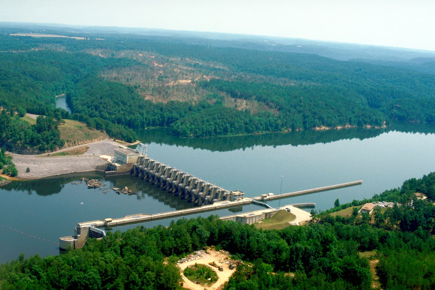
6,400 acres5 species3 ramps
Fish Gainesville Lake
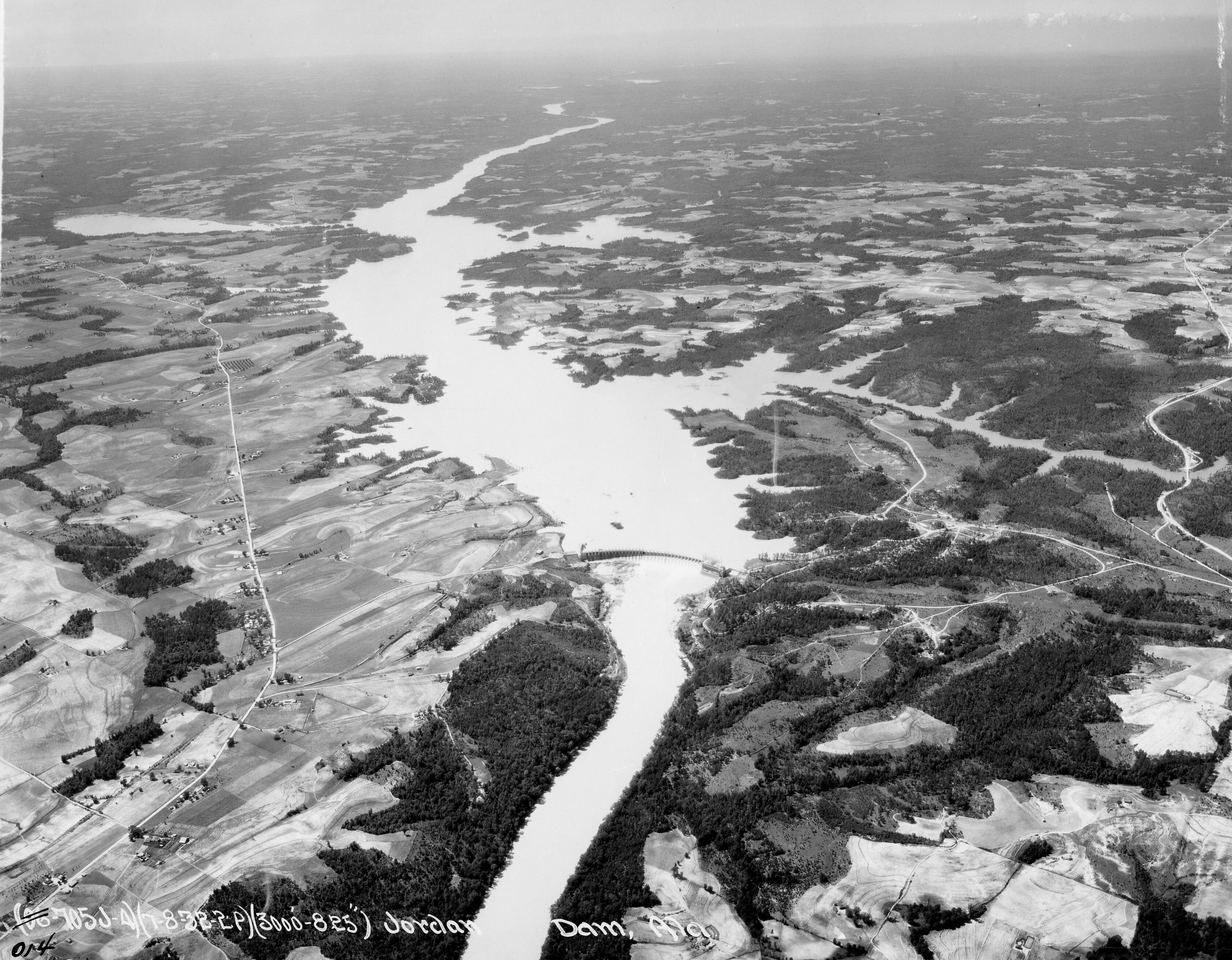
USACE Holt Lock and Dam on the Black Warrior River near Tuscaloosa, Alabama — aerial view of the lock, spillway, and Alabama Power hydroelectric plant

Holt Reservoir

Holt Lake Alabama fishing runs 3,296 narrow USACE-operated acres 6 miles northeast of Tuscaloosa — a winding Black Warrior impoundment between Oliver Lock do…
3,296 acres4 species2 ramps
Fish Holt Reservoir
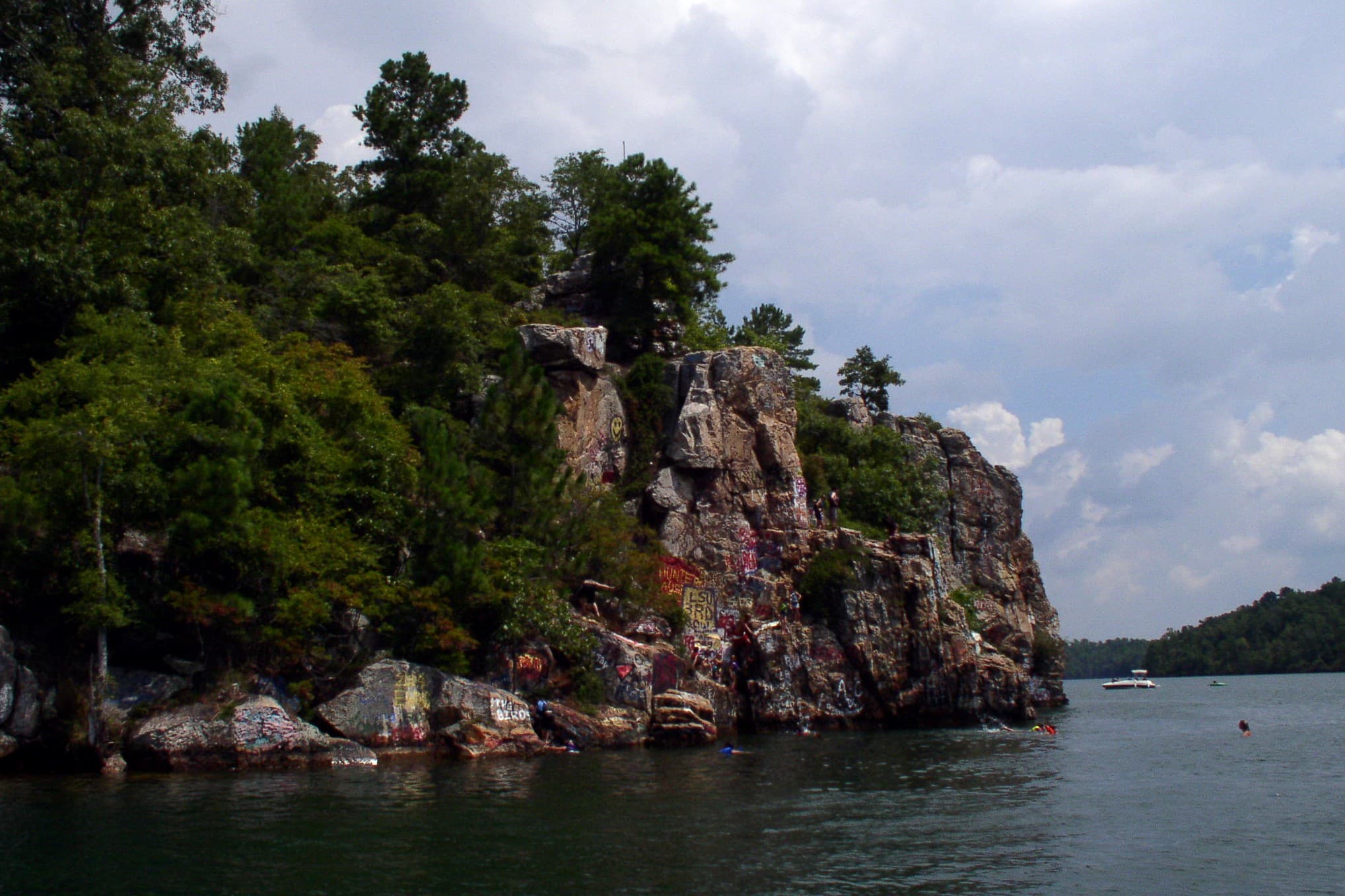
Aerial photograph of Jordan Dam on the Coosa River in Alabama, the 1928 Alabama Power hydroelectric dam that created Lake Jordan

Lake Jordan

This lake Jordan fishing report Alabama anglers bookmark covers 6,800 acres of Coosa River impoundment in Elmore County — Alabama Bass Trail tournament water…
6,800 acres7 species3 ramps
Fish Lake Jordan
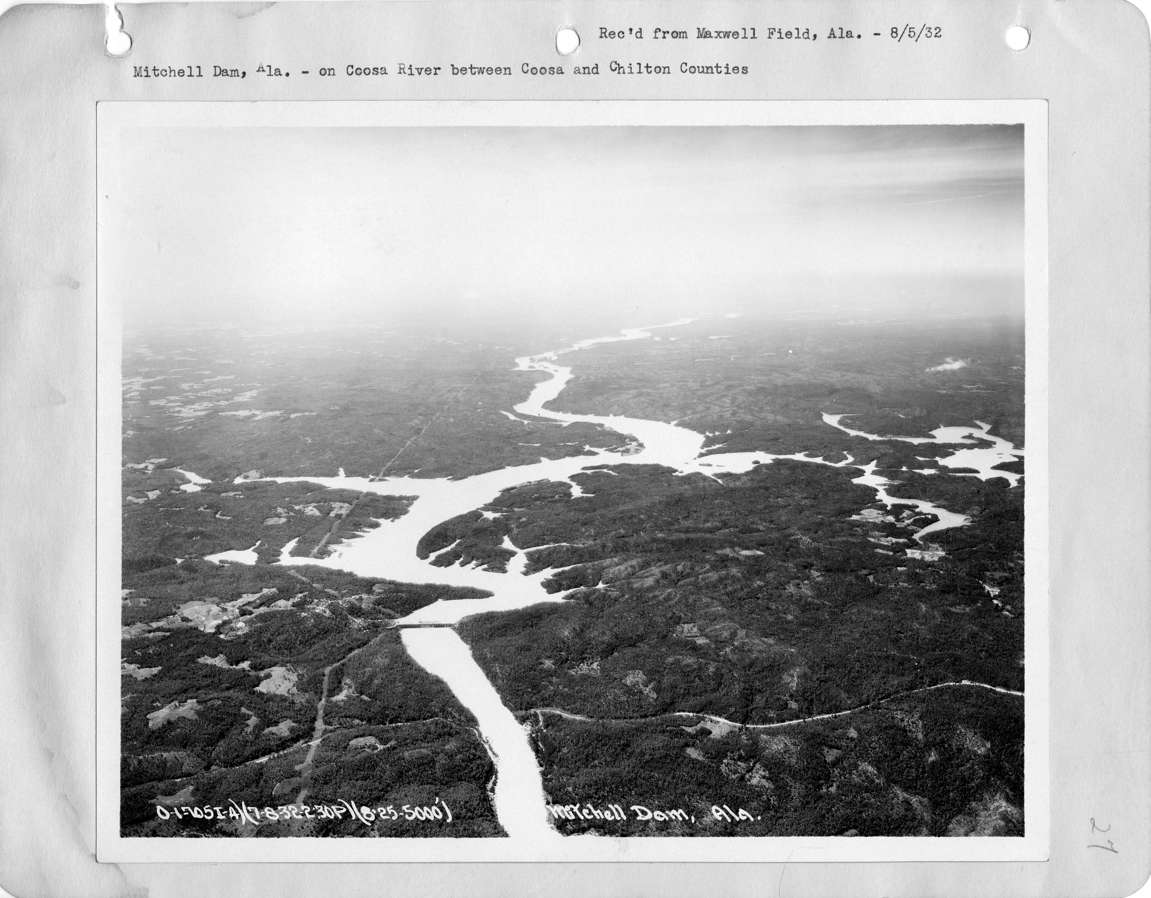
Acapulco Rock and Chimney Rock on Lake Martin, Tallapoosa River, Alabama

Lake Martin

Lake Martin is 44,000 acres of clear, deep Tallapoosa River water — the South's oldest commercial hydroelectric reservoir (1926) and a spotted bass factory t…
44,000 acres6 species8 ramps
Fish Lake Martin
Mitchell Dam on the Coosa River in Alabama, the 1923 Alabama Power hydroelectric dam that impounds Lake Mitchell

Lake Mitchell

Mitchell Lake Alabama fishing report: 5,850 Coosa River acres impounded by Alabama Power in 1923 between Lay Dam and Jordan Dam. Spotted bass, largemouth, an…
5,850 acres7 species4 ramps
Fish Lake Mitchell
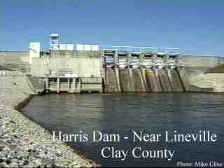
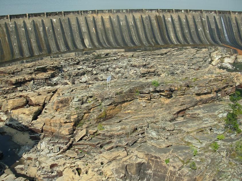
R.L. Harris Dam on the Tallapoosa River — the structure that impounds Lake Wedowee

Lake Wedowee

The latest Lake Wedowee Alabama fishing report shows spotted bass and slot-limit largemouth dominating this clear 10,660-acre Tallapoosa River reservoir, whe…
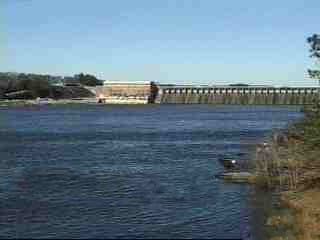
10,660 acres7 species10 ramps
Fish Lake Wedowee
Lay Dam on the Coosa River in Alabama, the 1914 hydroelectric dam that created Lay Lake

Lay Lake

Lay Lake is 12,000 acres of Alabama Coosa River water — a four-time Bassmaster Classic host. Check the fishing report for Coosa-strain spots and largemouth.

12,000 acres7 species6 ramps
Fish Lay Lake
Alabama map placeholder — Lee County Public Fishing Lake is a 130-acre ADCNR-managed Public Fishing Lake in Lee County. Verified CC-licensed photo not yet sourced for this PFL.

Lee County Public Fishing Lake

Lee County Public Fishing Lake fishing covers 130 stocked acres near Auburn in Lee County — ADCNR Wildlife and Freshwater Fisheries lake with largemouth bass…
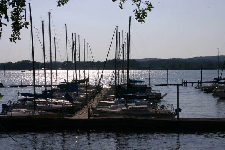
130 acres5 species1 ramps
Fish Lee County Public Fishing Lake
Evening on Lake Logan Martin — Coosa River reservoir near Pell City, Alabama

Logan Martin Lake

The latest Logan Martin Lake fishing reports put bass on shallow coves and deep current seams — this 15,263-acre Coosa River reservoir has hosted three Bassm…

15,263 acres6 species6 ramps
Fish Logan Martin Lake
Alabama River system map placeholder — Woodruff Lake is the 20-square-mile USACE pool at the Robert F Henry Lock & Dam. CC-licensed Woodruff photo not yet sourced; Phase 2 action.

Robert E Bob Woodruff Lake

Woodruff Lake Alabama fishing covers 12,800 Alabama River acres across Autauga, Lowndes, Dallas, and Elmore counties — USACE Robert F Henry Lock pool, 80 mil…
12,800 acres5 species3 ramps
Fish Robert E Bob Woodruff Lake
Thurlow Dam on the Tallapoosa River in Tallassee, Alabama — Alabama Power's 1930 hydroelectric dam that created 574-acre Thurlow Lake

Thurlow Lake

Thurlow Lake Alabama fishing targets shoal bass and spotted bass on a compact 574-acre Tallapoosa River pool in Tallassee, the smallest and lowest of Alabama…

574 acres5 species1 ramps
Fish Thurlow Lake
Jordan Dam on the Coosa River, Alabama — the upstream run-of-river impoundment that feeds the Walter Bouldin bypass reservoir

Walter Bouldin Lake

Walter Bouldin Lake is a 6,800-acre Coosa River bypass reservoir in Elmore County, Alabama, tied to Jordan Lake by a free-flowing canal. Largemouth, spotted …

6,800 acres7 species2 ramps
Fish Walter Bouldin Lake
Yates Dam on the Tallapoosa River, Alabama, as seen from Thurlow Dam, 1996

Yates Lake

Yates Lake fishing offers about 2,000 acres of lightly pressured Tallapoosa River water near Tallassee, Alabama — an Alabama Power hydro pool impounded in 19…

2,000 acres5 species1 ramps
Fish Yates Lake

South

The Wiregrass and Gulf Coast — Eufaula, Walter F. George, the Mobile Delta, Tensaw River, and the coastal bays. Shallow stump flats inland; tidal and brackish water south of Highway 84.

10 lakes indexed · 52,717 acres
Map-style placeholder hero (Conecuh River) — Big Creek Lake is in Mobile County northwest of the city; a dedicated Big Creek Lake photo was not available on Wikimedia Commons at build time.

Big Creek Lake

Big Creek Lake Alabama fishing covers 3,600 Mobile County acres — MAWSS-operated water-supply reservoir with controlled access, on-site boat rental only, and…

3,600 acres4 species1 ramps
Fish Big Creek Lake
Alabama map placeholder — Coffee County Public Fishing Lake is a 80-acre ADCNR-managed Public Fishing Lake in Coffee County. Verified CC-licensed photo not yet sourced for this PFL.

Coffee County Public Fishing Lake

Coffee County Public Fishing Lake fishing covers 80 stocked acres near Elba in Coffee County — ADCNR Wildlife and Freshwater Fisheries lake with largemouth b…

80 acres5 species1 ramps
Fish Coffee County Public Fishing Lake
Alabama map placeholder — Dale County Public Fishing Lake is a 92-acre ADCNR-managed Public Fishing Lake in Dale County. Verified CC-licensed photo not yet sourced for this PFL.

Dale County Public Fishing Lake

Dale County Public Fishing Lake fishing covers 92 stocked acres near Ozark in Dale County — ADCNR Wildlife and Freshwater Fisheries lake with largemouth bass…

92 acres5 species1 ramps
Fish Dale County Public Fishing Lake
Map of the Conecuh River watershed in south Alabama — Gantt Lake is the Alabama Power hydroelectric impoundment on the upper river above Andalusia

Gantt Lake

Gantt Lake Alabama fishing covers 2,700 Conecuh River acres 9 miles north of Andalusia — Alabama Power's 1924 hydro impoundment, the second-largest lake in s…

2,700 acres5 species2 ramps
Fish Gantt Lake
Alabama map placeholder — Geneva County Public Fishing Lake is a 75-acre ADCNR-managed Public Fishing Lake in Geneva County. Verified CC-licensed photo not yet sourced for this PFL.

Geneva County Public Fishing Lake

Geneva County Public Fishing Lake fishing covers 75 stocked acres near Coffee Springs in Geneva County — ADCNR Wildlife and Freshwater Fisheries lake with la…

75 acres5 species1 ramps
Fish Geneva County Public Fishing Lake
Walter F. George Lock and Dam on the Chattahoochee River — impounding Lake Eufaula, Alabama

Lake Eufaula

Lake Eufaula is a 45,181-acre Corps of Engineers impoundment on the Chattahoochee River, closed in 1963 by Walter F. George Dam and recognized as the Big Bas…

45,181 acres5 species4 ramps
Fish Lake Eufaula
Alabama map placeholder — Monroe County Public Fishing Lake is a 94-acre ADCNR-managed Public Fishing Lake in Monroe County. Verified CC-licensed photo not yet sourced for this PFL.

Monroe County Public Fishing Lake

Monroe County Public Fishing Lake fishing covers 94 stocked acres near Beatrice in Monroe County — ADCNR Wildlife and Freshwater Fisheries lake with largemou…

94 acres5 species1 ramps
Fish Monroe County Public Fishing Lake
Alabama map placeholder — Pike County Public Fishing Lake is a 95-acre ADCNR-managed Public Fishing Lake in Pike County. Verified CC-licensed photo not yet sourced for this PFL.

Pike County Public Fishing Lake

Pike County Public Fishing Lake fishing covers 95 stocked acres near Troy in Pike County — ADCNR Wildlife and Freshwater Fisheries lake with largemouth bass,…

95 acres5 species1 ramps
Fish Pike County Public Fishing Lake
Map of the Conecuh River watershed in south Alabama — Point A Lake is the second of two Alabama Power impoundments on the upper Conecuh below Gantt Dam

Point A Lake

Point A Lake Alabama fishing covers 700 Conecuh River acres in Covington County below Gantt Dam — Alabama Power's 1926 hydro pool, worked for largemouth bass…

700 acres4 species2 ramps
Fish Point A Lake
Alabama map placeholder — Washington County Public Fishing Lake is a 100-acre ADCNR-managed Public Fishing Lake in Washington County. Verified CC-licensed photo not yet sourced for this PFL.

Washington County Public Fishing Lake

Washington County Public Fishing Lake fishing covers 100 stocked acres near Millry in Washington County — ADCNR Wildlife and Freshwater Fisheries lake with l…

100 acres5 species1 ramps
Fish Washington County Public Fishing Lake