Alabama
Fishing Atlas
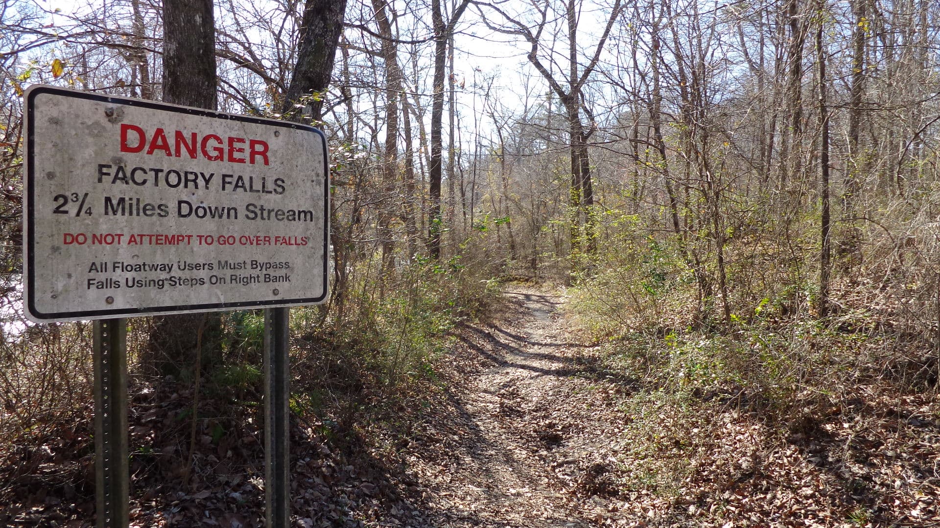
Bear Creek in Franklin County, Alabama — the parent watershed of Cedar Creek (a Bear Creek tributary that TVA impounds to form Cedar Creek Reservoir). Photo shows the flowing Bear Creek drainage, not the Cedar Creek pool itself.

Cedar Creek Reservoir: 4,200 Acres — the Largest of Alabama's Four Bear Creek Lakes, Closed by TVA in 1979 North of Russellville

A TVA flood-control impoundment on Cedar Creek in Franklin County — ninety-six-foot earthen dam completed in 1979, nine miles of rock-cut shoreline, and the scenic big-water pool of the Bear Creek system anchored by Slickrock Campground. Not to be confused with the much larger Texas reservoir of the same name.

Photo: john049 (via Panoramio) · CC BY-SA 3.0

Written by Atlas Editorial · Last updated

Cedar Creek Reservoir is a 4,200-acre TVA flood-control pool in Franklin County, Alabama — largest of the four Bear Creek Lakes, closed 1979, anchored by Slickrock Campground north of Russellville. This is the Alabama Cedar Creek, not the Texas reservoir.

GPS Waypoints (GPX)
Acreage
4,200 acres at full pool (per BCDA Slickrock profile) — the largest of the four Bear Creek Lakes per TVA
Max Depth
N/A
Length
9 miles upstream from Cedar Creek Dam (per TVA)
Shoreline
N/A
Impounded
1979 (TVA Bear Creek Project)
River System
Cedar Creek (Bear Creek tributary, Tennessee River watershed)
Access
Public (BCDA permit required ages 16-65)
01 · Overview

The Water

Cedar Creek Reservoir anchors the Bear Creek system — 4,200 surface acres, closed by TVA in 1979 with a 96-foot earthen dam 3,160 feet long, the fourth and final dam of the Bear Creek Project. This is the Alabama Cedar Creek, not the much larger Texas reservoir of the same name. The pool sits entirely in Franklin County, ten miles north of Russellville at 34.5289, -87.9267, and extends nine miles upstream from the dam per TVA. It's flood-control and water-supply only — no hydro plant — with 80,000 acre-feet of flood storage. BCDA calls it one of their best scenic lakes due to its rock-cut design. Slickrock Campground (170 Slickrock Camp Rd, Russellville) is the full-service anchor at 53 mostly shaded sites with ramp, pier, two bathhouses, and camp store; BCDA also lists three additional day-use ramps on Cedar Creek — Hellum's Mill, Britton Bridge, and Lost Creek. Anglers 16-65 need an Alabama license plus a BCDA permit ($8.60/day or $33.60/annual).

Cedar Creek Reservoir holds fish in patterns you can set your watch to. The bite isn't a secret — it's what most fishermen don't know about where the grass thins onto a hard ledge.

Alabama Fishing Atlas Editorial
02 · Bite Windows

Solunar Forecast

Major and minor solunar windows shift daily with the moon’s transit. Fish the windows above, or check the Seasonal Playbook below for Cedar Creek Reservoir’s current pattern.

03 · The Calendar

Seasonal Playbook

March through May is the peak open-water window on Cedar Creek. Water climbs from the low 50s into the 70s and largemouth stage on the rock-cut main-lake points between Slickrock and the dam before pulling into the spawning pockets up the tributary arms and the back of the Slickrock cove. A suspending jerkbait on long pauses catches staging fish on clear-water points in 6-12 feet; by April a wacky Senko or a Texas-rigged lizard covers the spawning flats. Crappie push into the back of the arms and hang on timber in 6-10 feet — a 1/16-oz jig tipped with a minnow catches fish all day. Smallmouth pre-spawn on chunk rock near the dam and mid-lake bluffs; a 3/8-oz shaky head with a green-pumpkin finesse worm is the go-to. Channel cats turn on by late April when surface temps cross 65°F. Check TVA pool elevation before launching — 80,000 acre-feet of flood storage means the pool can swing several feet on heavy rain.

Species on this water

#1

Largemouth Bass

Primary black-bass species. BCDA describes the Bear Creek Lakes system as producing largemouth over 15 pounds across the four pools. Cedar Creek's 4,200 acres of rock-cut shoreline, main-channel points, and tributary arms fish well for largemouth in the shallow brush and laydowns.

Creel limit
5/day (combined)
Best season
Spring
State record
16 lbs 8 oz
#2

Crappie

BCDA lists crappie as a headline species on Bear Creek Lakes. Statewide 9-inch minimum and 30/day apply. Target brush tops, the old Cedar Creek channel, and timber in the backs of the tributary arms.

Creel limit
30/day, 9-inch min
Best season
Spring/Winter
#3

Smallmouth Bass

Present on the rocky structure of Cedar Creek — BCDA reports smallmouth over 5 pounds system-wide across the four Bear Creek Lakes. Statewide aggregate of 10 black bass with no more than 5 smallmouth.

Creel limit
5/day (combined)
Best season
Spring/Fall
State record
8 lbs 1 oz (1986)
#4

Spotted Bass

Third black-bass species on rock and wood transitions — no protective length limit.

Creel limit
5/day (combined)
Best season
Spring
State record
8 lbs 15 oz
#5

Catfish

Channel catfish on the main channel and the creek-arm mouths — the Slickrock camp store stocks live bait for catfishing.

Creel limit
No statewide limit
Best season
Summer/Winter
05 · Hire Local

Fishing Guides

06 · Planning the Trip

Stay & Eat

Nearby Attractions

Bear Creek Floatway

trail

26-mile Class I canoe and kayak run on the sister Bear Creek system upstream of Cedar Creek — beginning below Upper Bear Creek Dam and terminating at Big Bear Creek Reservoir. TVA scheduled recreational releases run Saturday 6 AM through Sunday 4 PM Memorial Day through Labor Day from Upper Bear Dam. Cedar Creek itself is not part of the floatway release cycle — it sits downstream of Big Bear Dam.

Dismals Canyon

scenic

901 Highway 8, Phil Campbell, AL 35581

Privately owned 85-acre nature conservatory in Phil Campbell, designated a National Natural Landmark in 1975 by the National Park Service. Home of the Dismalites (bioluminescent fly larvae) — night tours Friday and Saturday in season. About 30 minutes south of Slickrock via Russellville and US-43/AL-237.

Lower Bear Creek Canoe Trail

trail

34-mile float below Big Bear Creek Dam running down the lower Bear Creek to Pickwick Landing Dam on the Tennessee River — a leisurely counterpart to the Upper Bear floatway per TVA. Cedar Creek sits between the Bear Creek system and the Tennessee River mainstem but is not itself on the canoe trail.

Around Cedar Creek Reservoir

Cedar Creek Reservoir sits entirely in Franklin County, ten miles north of Russellville — the Franklin County seat (population about 11,000) is the closest full-service town for gas, ice, groceries, and diner-style food. Slickrock Campground on the east shore is the lake's recreation anchor: 53 mostly shaded sites (many waterfront), two bathhouses, a fishing pier, a boat ramp, a camp store stocking live bait, a rentable pavilion through the BCDA office, and swim areas. Monthly campsites run roughly $350-$500 per BCDA. There are no lakeside restaurants or marinas on Cedar Creek — this is a scenic rock-cut flood-control pool where the recreation footprint is the Slickrock campground, three day-use ramps (Hellum's Mill, Britton Bridge, Lost Creek), and nine miles of main-channel water. Lodging on the reservoir is limited to Slickrock campsites; Russellville anchors the hotel and food scene, and the sister Bear Creek lakes upstream — Little Bear with its Elliot Branch peninsula cabins fifteen minutes south, Big Bear's Horseshoe Bend and Piney Point campgrounds twenty-five minutes southwest — sit within a short drive. Dismals Canyon, a National Natural Landmark with a canyon trail and seasonal Dismalites night tours, is about thirty minutes south via Russellville.

07 · Launch Day

On the Water

Boat ramps

concrete rampOpen

Slickrock Boat Ramp

Russellville

Parking
spots
Fee
BCDA user's permit (ages 16-65)

170 Slickrock Camp Rd, Russellville, AL 35653 (Franklin County). BCDA public ramp on Cedar Creek Reservoir at the 53-site Slickrock Campground — boat ramp, fishing pier, two bathhouses, camp store with live bait, pavilion, private campers' swim area, and public swim area at the pavilion. Camp manager Brian Copeland at (256) 412-6996. Coordinates ~34.5104, -87.9091. Cedar Creek's primary public access and the anchor of recreation on the reservoir.

Directions
concrete rampOpen

Hellum's Mill Boat Ramp

Russellville

Parking
spots
Fee
BCDA user's permit (ages 16-65)

BCDA public ramp on Cedar Creek Reservoir per the Bear Creek Development Authority boat-ramps page, which groups Hellum's Mill with Slickrock, Britton Bridge, and Lost Creek on Cedar Creek. No posted street address on the BCDA site and no standalone campground profile — day-use ramp only. Call the BCDA office at (256) 332-4392 (1111 Highway 88, Hodges) for directions before your trip.

Directions
concrete rampOpen

Britton Bridge Boat Ramp

Russellville

Parking
spots
Fee
BCDA user's permit (ages 16-65)

BCDA public ramp on Cedar Creek Reservoir per the Bear Creek Development Authority boat-ramps page. No posted street address on the BCDA site and no standalone campground profile — day-use ramp only. Call the BCDA office at (256) 332-4392 for directions before your trip.

Directions
concrete rampOpen

Lost Creek Boat Ramp

Russellville

Parking
spots
Fee
BCDA user's permit (ages 16-65)

BCDA public ramp on Cedar Creek Reservoir per the Bear Creek Development Authority boat-ramps page. No posted street address on the BCDA site and no standalone campground profile — day-use ramp only on a Cedar Creek tributary arm. Call the BCDA office at (256) 332-4392 for directions before your trip.

Directions

Bait shops near the lake

    Law

    Regulations

    Regulations on Cedar Creek Reservoir

    Bass (combined)
    10 black bass daily aggregate (largemouth / smallmouth / spotted / Alabama) — Alabama statewide limit. No more than 5 of the 10 may be smallmouth. · No statewide minimum length on largemouth, smallmouth, or spotted bass in Alabama general public waters — Cedar Creek Reservoir has no published special black-bass size regulation. Verify current ADCNR regulations before keeping fish.
    Crappie
    30 per day (statewide). · 9-inch minimum (statewide).
    Striped/White Bass

    Cedar Creek Reservoir is part of the TVA Bear Creek Project, managed for recreation by the Bear Creek Development Authority (BCDA). Cedar Creek is the largest of the four Bear Creek Lakes at 4,200 acres and sits entirely in Franklin County. Anglers ages 16-65 must purchase a BCDA user's permit in addition to an Alabama fishing license; anglers with a legal Alabama disability license can use that in place of a BCDA permit per BCDA policy. Cedar Creek Dam is operated by TVA for flood control and water supply — it is not a hydroelectric facility (96 feet high, 3,160 feet long, completed 1979, 80,000 ac-ft flood storage). Cedar Creek is not part of the Bear Creek Floatway release cycle — the floatway runs from Upper Bear Dam down to Big Bear Creek Reservoir upstream of Cedar Creek. Verify current ADCNR regulations at outdooralabama.com and current TVA operating conditions at tva.com/environment/lake-levels/cedar-creek before your trip.

    Alabama fishing license required for all anglers 16 and older (residents and non-residents). In addition, the Bear Creek Development Authority requires a user's permit for every person ages 16-65 using BCDA lakes and facilities — $8.60/day, $12.60/three-day, or $33.60/annual per current BCDA pricing (bearcreeklakes.com/permits). Annual permits run October 1 through September 30. Lifetime permits are sold in-person at the BCDA office at 1111 Highway 88, Hodges.. Always verify current rules before your trip.

    Full Alabama fishing regulations ›
    Explore

    Nearby Waters

    ~42 miles

    Lake Wheeler

    67,100 acres

    Bass · Crappie

    ~2 miles

    Tennessee River (Tailrace)

    River

    Stripers · Bass

    ~55 miles

    Lake Nickajack

    10,370 acres

    Bass · Crappie

    ~38 miles

    Lake Wilson

    15,930 acres

    Bass · Catfish

    FAQ

    Cedar Creek Reservoir questions

    Fishing regulations, water conditions, and seasonal patterns change. Alabama Fishing Atlas provides informational content only. Verify all regulations with the Alabama Department of Conservation and Natural Resources before fishing, keeping any fish, or launching watercraft. We are not liable for decisions made based on information published here. Full disclaimer →

    Citation

    Data sources

    • Tennessee Valley Authority — Cedar Creek dam overview (https://www.tva.com/energy/our-power-system/hydroelectric/Cedar-Creek)
    • Tennessee Valley Authority — Cedar Creek lake levels and operating information (https://www.tva.com/environment/lake-levels/cedar-creek)
    • Tennessee Valley Authority — TVA Lake Info Cedar Creek Reservoir (https://lakeinfo.tva.gov/web/sites/cedarcreek.htm)
    • Bear Creek Development Authority — Bear Creek Lakes homepage (https://bearcreeklakes.com/)
    • Bear Creek Development Authority — Boat Ramps (https://bearcreeklakes.com/boat-ramps/)
    • Bear Creek Development Authority — Slickrock Campground (https://bearcreeklakes.com/slickrock/)
    • Bear Creek Development Authority — Permits (https://bearcreeklakes.com/permits/)
    • Wikipedia — Cedar Creek Reservoir (Alabama) (https://en.wikipedia.org/wiki/Cedar_Creek_Reservoir_(Alabama))
    • Wikipedia — Bear Creek Reservoir (https://en.wikipedia.org/wiki/Bear_Creek_Reservoir)
    • Alabama Department of Conservation and Natural Resources — Freshwater Fishing Creel and Size Limits (https://www.outdooralabama.com/fishing/freshwater-fishing-creel-and-size-limits)
    • Alabama Department of Conservation and Natural Resources — Outdoor Alabama (https://www.outdooralabama.com/fishing)

    Data last reviewed: 2026-04-19

    DirectionsPDF