AlabamaFishing Atlas
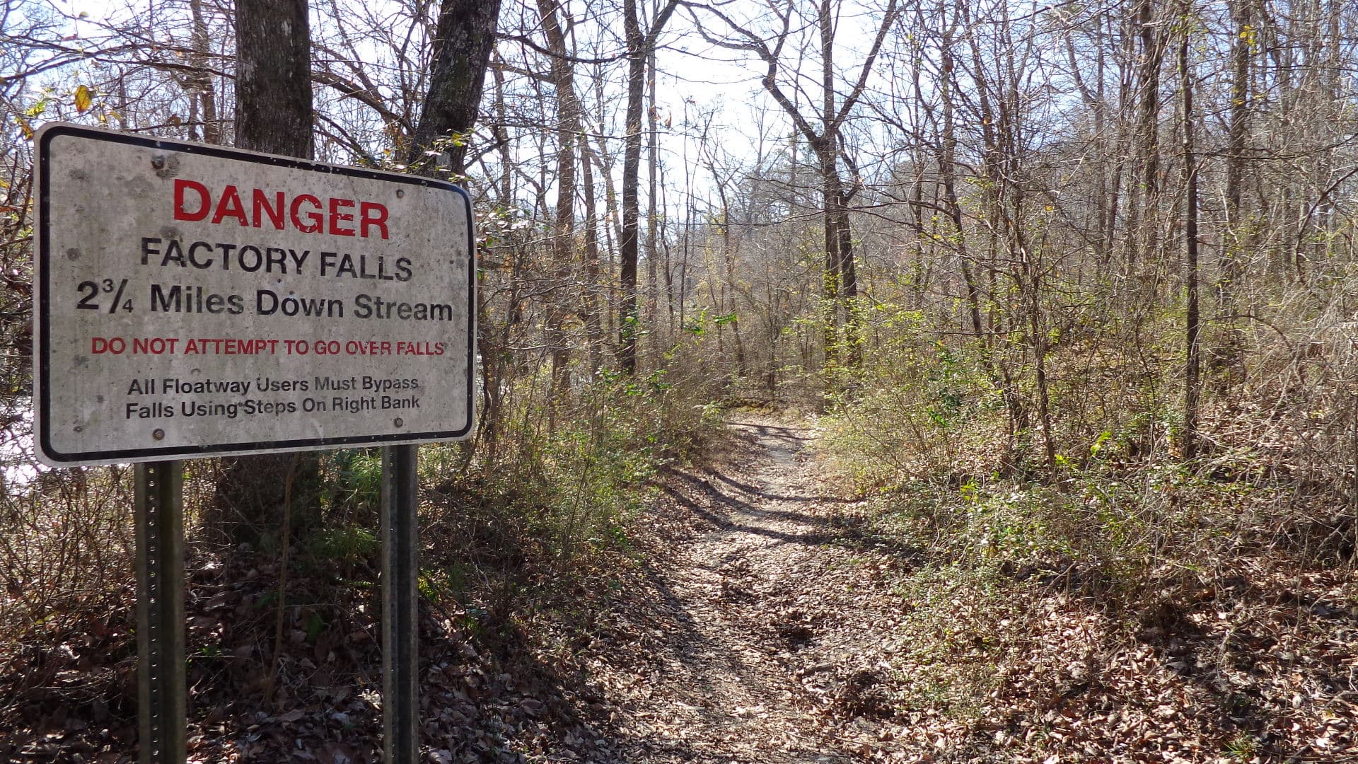
Bear Creek in Marion County, Alabama — clear-water Appalachian-plateau stream photographed in the Bear Creek watershed near Upper Bear Creek Dam

Upper Bear Creek Reservoir Boat Ramps: Map and Directions

4 public boat ramps on Upper Bear Creek Reservoir. Tap a pin or a Directions button and your phone’s map takes you to the ramp.

Photo: john049 (via Panoramio) · CC BY-SA 3.0
Boat ramps on Upper Bear Creek Reservoir
Tap a pin for the ramp name and directions.
Ramp locations: Google Maps listings. Map tiles © OpenFreeMap / OpenStreetMap contributors.

Every ramp, with directions

Mon Dye Boat Ramp and Beach

Phil Campbell, Alabama · 34.33300, -87.65086

★ 4.6 from 49 Google reviews

➤ Directions

bates landing boat ramp

Phil Campbell, Alabama · 34.32402, -87.66235

★ 4.2 from 20 Google reviews

➤ Directions

Twin Forks Boat Ramp

Haleyville, Alabama · 34.28062, -87.68410

★ 4.3 from 18 Google reviews

➤ Directions

Quarter Creek Boat Ramp and Beach

Haleyville, Alabama · 34.29225, -87.62577

★ 4.5 from 11 Google reviews

➤ Directions

Ramp names, locations and ratings come from Google Maps listings, checked 2026-11-11. Fees, hours and water-level closures are not listed there, so check with the ramp owner before you tow.

Ramps with Atlas launch notes

Quarter Creek Boat Ramp and Beach · HaleyvilleMon-Dye Boat Ramp and Beach · Phil CampbellTwin Forks Boat Ramp · Haleyville

More for a day on Upper Bear Creek Reservoir

Upper Bear Creek Reservoir fishing guide →Bait shops in HaleyvilleAll Alabama boat ramps