Florida rules are not Alabama rules. Seasons, bag limits and license rules in Florida waters are set by the FWC. Check them before you go: FWC saltwater regulations ↗
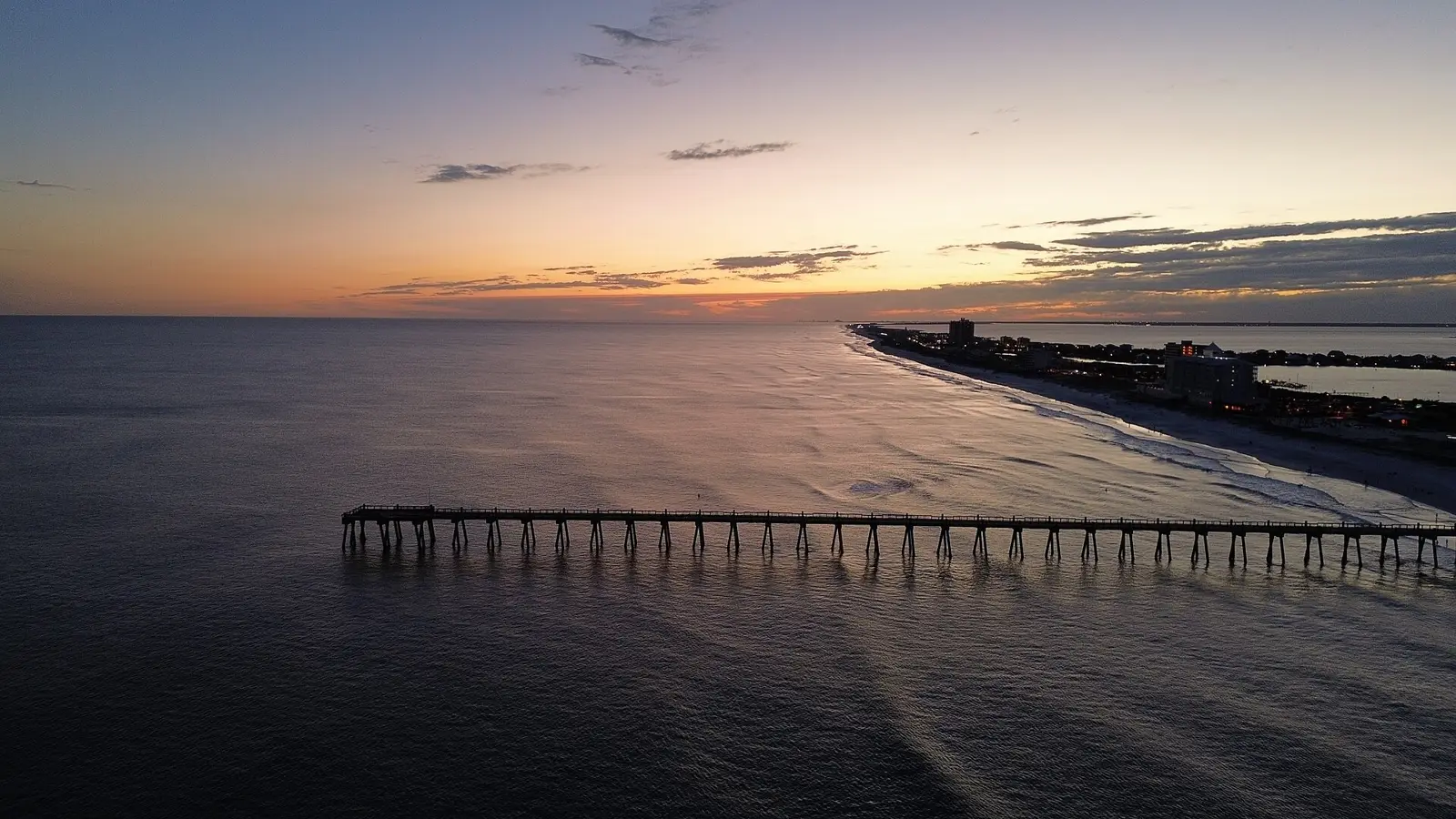
Pensacola, Perdido Key & Gulf Breeze
53 listed · Pensacola · Perdido Key · Gulf Breeze · Milton
Tap a pin for the name, then Open for directions. Pin locations: Google Maps listings. Map tiles © OpenFreeMap / OpenStreetMap contributors.
Show all 53 charters & guides
- Hot Spots ChartersPensacola Beach · Charter · 4.9★ (288 Google reviews)
- Tradition Fishing ChartersPensacola · Charter · 4.8★ (246 Google reviews)
- Entertainer Fishing ChartersPensacola · Charter · 4.7★ (234 Google reviews)
- Panhandle Charters and Guide ServicePensacola Beach · Charter · 5★ (171 Google reviews)
- Pensacola Beach Inshore Fishing ChartersPensacola Beach · Charter · 5★ (153 Google reviews)
- Panhandle Salt Surf FishingPensacola · Charter · 4.9★ (136 Google reviews)
- Heads N Scales Fishing ChartersPensacola Beach · Charter · 5★ (130 Google reviews)
- Pensacola Fishing Co. Inshore & Offshore ChartersPensacola · Charter · 4.8★ (117 Google reviews)
- Strickly Fishing ChartersPensacola Beach · Charter · 4.9★ (116 Google reviews)
- Reel Addiction Fishing ChartersPensacola Beach · Charter · 5★ (96 Google reviews)
- Kings Fishing ChartersPensacola · Charter · 5★ (91 Google reviews)
- Miller Fishing ChartersPensacola · Charter · 4.8★ (91 Google reviews)
- Angler Up ChartersPensacola · Charter · 4.8★ (89 Google reviews)
- All Caught Up Fishing ChartersPensacola · Charter · 5★ (71 Google reviews)
- Southbound Tournament Fishing ChartersPensacola Beach · Charter · 4.9★ (67 Google reviews)
- Total Package Fishing ChartersPensacola Beach · Charter · 5★ (62 Google reviews)
- Gulf Bay ChartersPensacola · Charter · 5★ (61 Google reviews)
- Can't Quit Fishing PensacolaPensacola · Charter · 5★ (61 Google reviews)
- Emerald "C" Fishing ChartersPensacola · Charter · 4.8★ (53 Google reviews)
- Deep Thrills Fishing ChartersPensacola Beach · Charter · 4.9★ (51 Google reviews)
- Fish Frenzy Fishing ChartersPensacola Beach · Charter · 4.5★ (50 Google reviews)
- All Jack'd Up ChartersPensacola · Charter · 4.9★ (48 Google reviews)
- Twisted Palms Salty AdventuresPensacola · Charter · 4.9★ (43 Google reviews)
- Rock Bottom ChartersPensacola · Charter · 5★ (41 Google reviews)
- Emerald Coast Inshore ChartersPensacola Beach · Charter · 5★ (40 Google reviews)
- Doubled Up Fishing ChartersPensacola Beach · Charter · 4.9★ (39 Google reviews)
- Spiked Sportfishing ChartersPensacola Beach · Charter · 5★ (36 Google reviews)
- Overkill AdventuresGulf Breeze · Charter · 5★ (32 Google reviews)
- Fish House ChartersPensacola · Charter · 5★ (31 Google reviews)
- Reel Eazy Fishing ChartersPensacola Beach · Charter · 4.3★ (25 Google reviews)
- Lost Bay Guide ServicePensacola · Charter · 4.5★ (24 Google reviews)
- Paradise Fishing ChartersPensacola · Charter · 4.6★ (23 Google reviews)
- Redfish UniversityPensacola · Charter · 4.6★ (20 Google reviews)
- Gulf Coast Pensacola Fishing ChartersPensacola · Charter · 4.7★ (19 Google reviews)
- Fly Fishing PensacolaPensacola · Charter · 5★ (18 Google reviews)
- Bandit FishingPensacola · Charter · 5★ (18 Google reviews)
- Upperhand Fishing ChartersPensacola · Charter · 5★ (16 Google reviews)
- Pensacola Fishing ChartersPensacola · Charter · 3.9★ (15 Google reviews)
- Gulf Breeze Guide ServiceGulf Breeze · Charter · 4.7★ (15 Google reviews)
- Bloodline Fishing ChartersPensacola Beach · Charter · 4.6★ (14 Google reviews)
- Lively's Gulf ChartersGulf Breeze · Charter · 5★ (12 Google reviews)
- A Latte Fun FishingPensacola · Charter · 5★ (12 Google reviews)
- Big John Shark Fishing AdventuresPensacola Beach · Charter · 5★ (11 Google reviews)
- Six Shooter ChartersPensacola · Charter · 5★ (10 Google reviews)
- Gulf Coast Fishing ChartersGulf Breeze · Charter · 5★ (10 Google reviews)
- It's A Good Day ChartersPensacola · Charter · 5★ (7 Google reviews)
- Captain DP ChartersPensacola · Charter · 5★ (4 Google reviews)
- No Limit Charter And GuidePensacola · Charter · 4★ (4 Google reviews)
- USA Ultimate Shoreline AdventuresPensacola · Charter · 5★ (2 Google reviews)
- Pensacola Beach Fishing Charters, Pensacola Fishing Charters and CruisesPensacola Beach · Charter · 3★ (1 Google reviews)
- Reel Irie Fishing Charters LLCGulf Breeze · Charter · 5★ (1 Google reviews)
- Hog Wild Fishing ChartersGulf Breeze · Charter
- Pensacola Beach Fishing ChartersPensacola Beach · Charter
Navarre
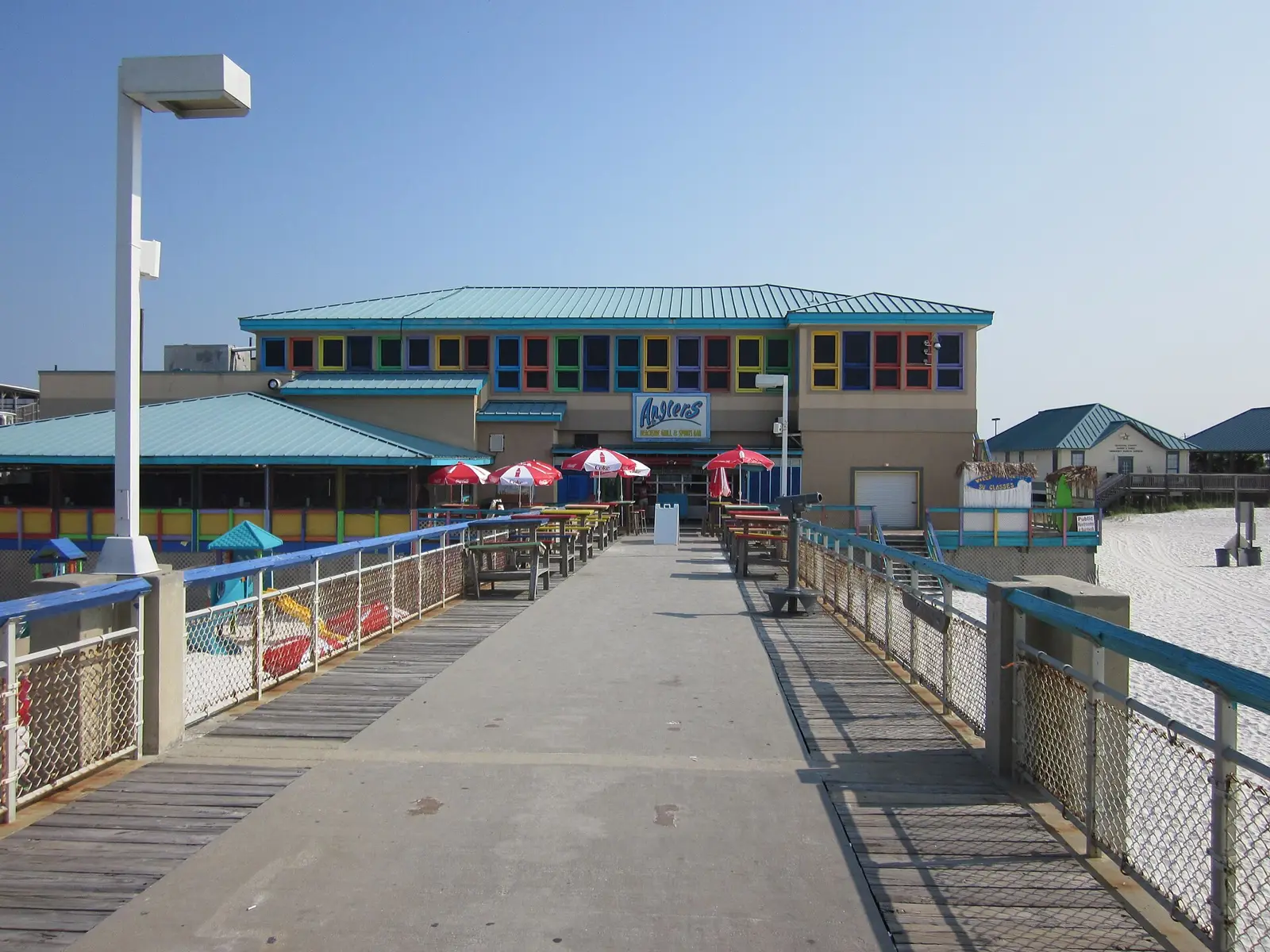
12 listed · Navarre · Navarre Beach
Tap a pin for the name, then Open for directions. Pin locations: Google Maps listings. Map tiles © OpenFreeMap / OpenStreetMap contributors.
Show all 12 charters & guides
- Fish Time Fishing Charter Navarre and PensacolaGulf Breeze · Charter · 4.7★ (435 Google reviews)
- Always Tight Fishing ChartersNavarre · Charter · 5★ (167 Google reviews)
- Showintail Inshore Charters Of Navarre FloridaNavarre · Charter · 4.8★ (64 Google reviews)
- Navarre Beach Inshore ChartersNavarre · Charter · 5★ (57 Google reviews)
- Lucky Chucky ChartersNavarre · Charter · 4.9★ (57 Google reviews)
- Emerald Ghost Fishing ChartersNavarre · Charter · 5★ (52 Google reviews)
- On the Bite Fishing CharterNavarre · Charter · 4.9★ (31 Google reviews)
- Salty Lab ChartersNavarre · Charter · 5★ (31 Google reviews)
- E-6 INSHORE FISHING ADVENTURES, LLCNavarre · Charter · 5★ (30 Google reviews)
- By Land & By Sea ChartersNavarre · Charter · 5★ (8 Google reviews)
- Buck Wild Inshore ChartersGulf Breeze · Charter · 5★ (1 Google reviews)
- Reelaxin charters and weddings llcNavarre · Charter
Destin, Fort Walton Beach & Okaloosa Island
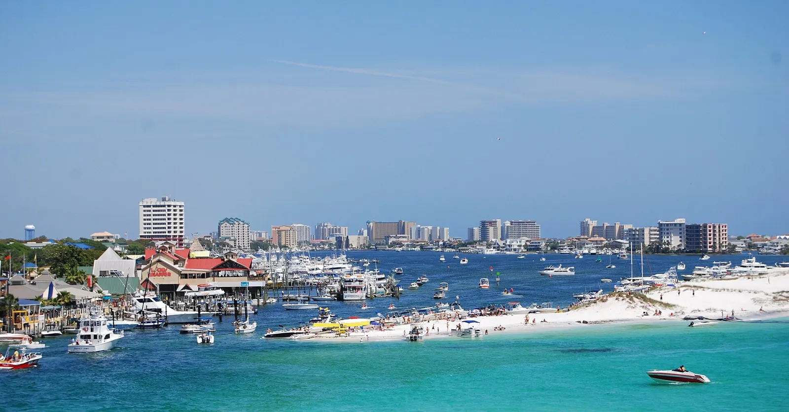
110 listed · Destin · Fort Walton Beach · Niceville · Santa Rosa Beach
Tap a pin for the name, then Open for directions. Pin locations: Google Maps listings. Map tiles © OpenFreeMap / OpenStreetMap contributors.
Show all 110 charters & guides
- Pelican AdventuresDestin · Charter · 4.9★ (6546 Google reviews)
- Destin Party Boat FishingDestin · Charter · 4.8★ (2722 Google reviews)
- Olin Marler's Dolphin Cruises & Fishing ChartersDestin · Charter · 4.6★ (1911 Google reviews)
- Crab Island Jimmy's ChartersFort Walton Beach · Charter · 4.9★ (878 Google reviews)
- Charter Boat StellunaDestin · Charter · 5★ (688 Google reviews)
- O Sea D Fishing ChartersDestin · Charter · 5★ (526 Google reviews)
- Sweet Jody FishingDestin · Charter · 4.8★ (515 Google reviews)
- American SpiritDestin · Charter · 4.5★ (394 Google reviews)
- Last Cast ChartersDestin · Charter · 4.9★ (394 Google reviews)
- Gulf-Angler Fishing ChartersDestin · Charter · 4.9★ (391 Google reviews)
- Silver Lining Charter FishingDestin · Charter · 5★ (375 Google reviews)
- Swoop II AdventuresDestin · Charter · 4.1★ (369 Google reviews)
- 1st Choice CharterDestin · Charter · 4.9★ (365 Google reviews)
- IntraCoastal ExperienceDestin · Charter · 5★ (319 Google reviews)
- Strictly Business Fishing ChartersSanta Rosa Beach · Charter · 5★ (318 Google reviews)
- Santa Rosa Charters LLCSanta Rosa Beach · Charter · 4.9★ (297 Google reviews)
- Scallywag Charters, Inc.Okaloosa Island · Charter · 4.9★ (280 Google reviews)
- Destin Go FishingDestin · Charter · 5★ (274 Google reviews)
- Destin Inshore Fishing CoDestin · Charter · 4.8★ (212 Google reviews)
- Charter Boat PhoenixDestin · Charter · 4.9★ (207 Google reviews)
- Destin Inshore ChartersOkaloosa Island · Charter · 4.9★ (200 Google reviews)
- Destin Inshore GuidesDestin · Charter · 4.9★ (197 Google reviews)
- HarborWalk ChartersDestin · Charter · 4.5★ (197 Google reviews)
- Destin Fishing ChartersDestin · Charter · 4.9★ (196 Google reviews)
- Cinnsational Destin Charter FishingDestin · Charter · 5★ (191 Google reviews)
- Lone Star Fishing ChartersDestin · Charter · 4.7★ (170 Google reviews)
- Championship Offshore Outfitting & ChartersDestin · Charter · 5★ (150 Google reviews)
- Charter Boat Sea WinderDestin · Charter · 5★ (121 Google reviews)
- Florida Boy AdventuresSanta Rosa Beach · Charter · 4.9★ (108 Google reviews)
- Blue Water Escape ChartersFort Walton Beach · Charter · 5★ (105 Google reviews)
- Fish-In-Daze ChartersDestin · Charter · 4.9★ (100 Google reviews)
- Pharmasea Outfitters-30A/Santa Rosa Beach Fishing ChartersSanta Rosa Beach · Charter · 4.8★ (99 Google reviews)
- Charter Boat Backlash - Destin Offshore ChartersDestin · Charter · 5★ (95 Google reviews)
- 30A Shallow Water Guide Service LLCSanta Rosa Beach · Charter · 5★ (88 Google reviews)
- Into The Blue ChartersDestin · Charter · 5★ (88 Google reviews)
- Charter Boat Hard ChargerDestin · Charter · 5★ (85 Google reviews)
- NOTHIN' MATTERS LLCDestin · Charter · 4.9★ (85 Google reviews)
- Reel 30ASanta Rosa Beach · Charter · 5★ (85 Google reviews)
- Play N Hooky Charters LLCNiceville · Charter · 5★ (84 Google reviews)
- Salty EndeavorsFort Walton Beach · Charter · 4.9★ (82 Google reviews)
- L4K ChartersNiceville · Charter · 5★ (80 Google reviews)
- Got The Hook Up ChartersShalimar · Charter · 4.9★ (79 Google reviews)
- Charter Boat Lady EmDestin · Charter · 4.9★ (75 Google reviews)
- Intentional Fishing ChartersShalimar · Charter · 5★ (74 Google reviews)
- One Shot Fishing Charters, LLC.Fort Walton Beach · Charter · 4.9★ (70 Google reviews)
- Findiction ChartersFreeport · Charter · 5★ (69 Google reviews)
- King of Kings ChartersDestin · Charter · 4.9★ (61 Google reviews)
- Reel Legend Destin Deep Sea Fishing ChartersDestin · Charter · 4.9★ (59 Google reviews)
- Rising Son ExpeditionsSanta Rosa Beach · Charter · 5★ (57 Google reviews)
- My Chance ChartersDestin · Charter · 5★ (57 Google reviews)
- Fishing Just B CauseDestin · Charter · 4.6★ (55 Google reviews)
- 30A Bay Guide ServiceSanta Rosa Beach · Charter · 4.8★ (53 Google reviews)
- No Alibi ChartersDestin · Charter · 4.7★ (49 Google reviews)
- Great Escape Fishing ChartersDestin · Charter · 5★ (49 Google reviews)
- Grayton Girl Fishing ChartersSanta Rosa Beach · Charter · 5★ (47 Google reviews)
- 30A Inshore ChartersSanta Rosa Beach · Charter · 5★ (44 Google reviews)
- Jack M Up Fishing ChartersFort Walton Beach · Charter · 5★ (44 Google reviews)
- Reel Runners ChartersNiceville · Charter · 4.9★ (44 Google reviews)
- Flat Attack ChartersNiceville · Charter · 5★ (44 Google reviews)
- Full Contact Fishing ChartersDestin · Charter · 5★ (43 Google reviews)
- Spitzer OutfittersFreeport · Charter · 5★ (42 Google reviews)
- Charter Boat 2nd ChanceNiceville · Charter · 4.9★ (42 Google reviews)
- Emerald Coast Bay Charters, LLCDestin · Charter · 4.7★ (40 Google reviews)
- Deep ChartersSanta Rosa Beach · Charter · 5★ (39 Google reviews)
- Got 2 Go Fishing ChartersShalimar · Charter · 5★ (38 Google reviews)
- Shallow Water ExpeditionsSanta Rosa Beach · Charter · 4.7★ (36 Google reviews)
- Shallow Minded Fishing Charters 30ASanta Rosa Beach · Charter · 5★ (35 Google reviews)
- Lock N Load ChartersDestin · Charter · 4.9★ (35 Google reviews)
- Living Right Fishing Charters LLCFort Walton Beach · Charter · 4.7★ (34 Google reviews)
- Charter Fishing DestinDestin · Charter · 4.6★ (34 Google reviews)
- Just Add Water ChartersNiceville · Charter · 5★ (34 Google reviews)
- My Destin Charters (Kitchen Pass)Destin · Charter · 4.6★ (31 Google reviews)
- Lindy Lou ChartersFort Walton Beach · Charter · 5★ (28 Google reviews)
- Snapper Trapper Charter Boat FishingDestin · Charter · 4.9★ (27 Google reviews)
- Sure Lure Fishing ChartersDestin · Charter · 5★ (27 Google reviews)
- Emerald Coast OutfittersDestin · Charter · 4.9★ (26 Google reviews)
- Executive Saltwater ChartersShalimar · Charter · 4.8★ (26 Google reviews)
- Captain Phil's ChartersSanta Rosa Beach · Charter · 5★ (26 Google reviews)
- Slow & Low Coastal OutfittersSanta Rosa Beach · Charter · 5★ (25 Google reviews)
- Sunshine Fishing ChartersFort Walton Beach · Charter · 4.9★ (25 Google reviews)
- Dead Fish ChartersSanta Rosa Beach · Charter · 4.9★ (25 Google reviews)
- Panhandle Fishing ChartersFort Walton Beach · Charter · 4.2★ (21 Google reviews)
- High Tide Charters 30ASanta Rosa Beach · Charter · 5★ (21 Google reviews)
- Beaver's Guide ServiceFreeport · Charter · 3.7★ (20 Google reviews)
- 30A Light Tackle Fishing ChartersSanta Rosa Beach · Charter · 5★ (20 Google reviews)
- Finatical ChartersShalimar · Charter · 5★ (19 Google reviews)
- 30A Guide ServiceSanta Rosa Beach · Charter · 4.7★ (19 Google reviews)
- Liquid Rhythm ChartersSanta Rosa Beach · Charter · 4.8★ (18 Google reviews)
- All Out Fishing ChartersDestin · Charter · 5★ (17 Google reviews)
- Have Fun Fishing ChartersShalimar · Charter · 4.8★ (16 Google reviews)
- Get Hooked ChartersSanta Rosa Beach · Charter · 4.8★ (16 Google reviews)
- Triggerhappy fishingSanta Rosa Beach · Charter · 5★ (15 Google reviews)
- Charter Boat Just Reel DestinDestin · Charter · 5★ (14 Google reviews)
- 7wt Charters fly fishing serviceSanta Rosa Beach · Charter · 5★ (13 Google reviews)
- Not a Dog ChartersSanta Rosa Beach · Charter · 5★ (13 Google reviews)
- Knotical Adventures Two LLCFort Walton Beach · Charter · 5★ (13 Google reviews)
- 30A Tightline Fishing ChartersFreeport · Charter · 5★ (12 Google reviews)
- Fish n Fool DestinDestin · Charter · 4.4★ (12 Google reviews)
- Tailslide SportfishingFort Walton Beach · Charter · 5★ (11 Google reviews)
- Above the Salt ChartersShalimar · Charter · 5★ (10 Google reviews)
- Lady Luck AdventuresShalimar · Charter · 5★ (8 Google reviews)
- Destin Bay Fishing Charters LLCDestin · Charter · 4.5★ (8 Google reviews)
- 30A Fishing ChartersSanta Rosa Beach · Charter · 3.8★ (5 Google reviews)
- Charter Boat Fishing DestinDestin · Charter · 5★ (4 Google reviews)
- Flyliner Charters, IncShalimar · Charter · 4.8★ (4 Google reviews)
- Knot WorkingFort Walton Beach · Charter · 5★ (3 Google reviews)
- High flying saltwater chartersNiceville · Charter · 5★ (3 Google reviews)
- FT2TFSanta Rosa Beach · Charter · 5★ (1 Google reviews)
- Destin Florida Fishing ChartersNiceville · Charter · 5★ (1 Google reviews)
- Surfari ChartersNiceville · Charter
Panama City Beach & Mexico Beach
57 listed · Panama City Beach · Panama City · Mexico Beach
Tap a pin for the name, then Open for directions. Pin locations: Google Maps listings. Map tiles © OpenFreeMap / OpenStreetMap contributors.
Show all 57 charters & guides
- Capt. Anderson's MarinaPanama City · Charter · 4.4★ (3651 Google reviews)
- Jubilee Deep Sea FishingPanama City Beach · Charter · 4.7★ (1132 Google reviews)
- Panama City InshorePanama City · Charter · 5★ (498 Google reviews)
- Chances R Deep Sea FishingPanama City Beach · Charter · 4.9★ (324 Google reviews)
- Florida Panhandle ChartersPanama City Beach · Charter · 5★ (239 Google reviews)
- Just Fish PCB, L.L.C.Panama City Beach · Charter · 5★ (226 Google reviews)
- Reelistic Fishing CharterPanama City · Charter · 5★ (218 Google reviews)
- Legendary New BeginningPanama City Beach · Charter · 4.9★ (203 Google reviews)
- Family Tradition Charter BoatPanama City · Charter · 4.7★ (194 Google reviews)
- Kelley Girl ChartersPanama City · Charter · 5★ (181 Google reviews)
- Semper Fi Charter and ToursPanama City Beach · Charter · 5★ (169 Google reviews)
- Southern Dawn ChartersPanama City · Charter · 5★ (153 Google reviews)
- All American Shark FishingPanama City Beach · Charter · 5★ (139 Google reviews)
- Captain Fisher ChartersPanama City · Charter · 4.9★ (128 Google reviews)
- GoldenRod Fishing Charters, LLC.Panama City · Charter · 5★ (126 Google reviews)
- Captain Mike ChartersPanama City Beach · Charter · 4.9★ (120 Google reviews)
- Better Dayz Fishing CharterPanama City · Charter · 5★ (119 Google reviews)
- South Walton Guide ServiceSanta Rosa Beach · Charter · 5★ (105 Google reviews)
- Captain Black's Fishing ChartersPanama City Beach · Charter · 4.7★ (90 Google reviews)
- Reel Groovy Experiences: Fishing Charters & Boat ToursPanama City · Charter · 4.7★ (82 Google reviews)
- Triple B Fishing CharterPanama City · Charter · 4.9★ (82 Google reviews)
- Private Charters Sport FishingPanama City Beach · Charter · 4.7★ (79 Google reviews)
- 30A Yacht ChartersSanta Rosa Beach · Charter · 4.9★ (78 Google reviews)
- Fish Now PCBPanama City · Charter · 4.9★ (77 Google reviews)
- Inshore Charters - Panama City Fishing GuidePanama City · Charter · 4.9★ (65 Google reviews)
- B&B ChartersPanama City Beach · Charter · 4.7★ (64 Google reviews)
- Charter Boat FreedomPanama City Beach · Charter · 5★ (64 Google reviews)
- Long Shot Charters-Charter Boat Fishing-Panama City Beach FloridaPanama City Beach · Charter · 5★ (61 Google reviews)
- Top Deck Charters.Panama City · Charter · 4.9★ (59 Google reviews)
- Fish Whacker ChartersPanama City Beach · Charter · 4.5★ (59 Google reviews)
- Hurricane ChartersPanama City Beach · Charter · 5★ (57 Google reviews)
- Catch It Fishing Charters & ToursPanama City · Charter · 4.9★ (54 Google reviews)
- Double Knot Fishing ChartersPanama City · Charter · 5★ (53 Google reviews)
- PCB Light Tackle Fishing ChartersPanama City · Charter · 5★ (52 Google reviews)
- Reel Deal Fishing ChartersPanama City · Charter · 4.6★ (46 Google reviews)
- Gulf Coast Guide Fishing and AdventuresPanama City · Charter · 5★ (43 Google reviews)
- Reel Therapy ChartersPanama City · Charter · 5★ (42 Google reviews)
- The Reel Contender Fishing CharterPanama City · Charter · 4.9★ (41 Google reviews)
- KC Sportfishing CharterMexico Beach · Charter · 4.9★ (37 Google reviews)
- Blue Sky Fishing 30ASanta Rosa Beach · Charter · 5★ (36 Google reviews)
- My Fishing Co.Panama City · Charter · 4.9★ (35 Google reviews)
- Redwater Guide CompanyPanama City Beach · Charter · 5★ (30 Google reviews)
- Tail Raiser ChartersPanama City · Charter · 4.8★ (28 Google reviews)
- Capt. Kyle Pitts – Fishing Charters in Panama City Beach & 30APanama City · Charter · 5★ (27 Google reviews)
- Showtime Fishing ChartersPanama City Beach · Charter · 5★ (26 Google reviews)
- First Cast ChartersPanama City Beach · Charter · 4.7★ (25 Google reviews)
- Panama City Beach Inshore Fishing ChartersPanama City Beach · Charter · 5★ (22 Google reviews)
- Reel Rosie Inshore ChartersPanama City · Charter · 5★ (22 Google reviews)
- Seminole Wind FishingPanama City · Charter · 4.8★ (21 Google reviews)
- Pisces Fishing & AdventuresPanama City · Charter · 4.7★ (15 Google reviews)
- Charter Boat Miss MaryMexico Beach · Charter · 4.5★ (13 Google reviews)
- Top to Bottom Fishing chartersPanama City Beach · Charter · 5★ (12 Google reviews)
- Charisma ChartersMexico Beach · Charter · 5★ (10 Google reviews)
- 30-AnglerSanta Rosa Beach · Charter · 5★ (8 Google reviews)
- Salty C’s ChartersPanama City · Charter · 5★ (5 Google reviews)
- West Bay Fishing ChartersPanama City Beach · Charter · 5★ (5 Google reviews)
- Let’s Go Fishing-PCBPanama City · Charter · 5★ (1 Google reviews)
Port St. Joe, Apalachicola & Carrabelle
60 listed · Port St. Joe · Apalachicola · Eastpoint · Carrabelle
Tap a pin for the name, then Open for directions. Pin locations: Google Maps listings. Map tiles © OpenFreeMap / OpenStreetMap contributors.
Show all 60 charters & guides
- Apalachicola and St. George Island Fishing and CruisesApalachicola · Charter · 5★ (217 Google reviews)
- Perfect Cast ChartersPort St Joe · Charter · 5★ (205 Google reviews)
- Southern Salinity Guide ServiceSt George Island · Charter · 5★ (197 Google reviews)
- Journeys of St George IslandEastpoint · Charter · 4.7★ (194 Google reviews)
- Apalachicola ChartersApalachicola · Charter · 5★ (174 Google reviews)
- Salty Fish Excursions Snorkeling, Fishing Cape San BlasPort St Joe · Charter · 4.9★ (150 Google reviews)
- Apalach AnglersApalachicola · Charter · 5★ (135 Google reviews)
- Williamson Outfitters, LLCEastpoint · Charter · 4.9★ (129 Google reviews)
- Shallow Seas ChartersPort St Joe · Charter · 5★ (126 Google reviews)
- Apalachicola Saltwater ChartersApalachicola · Charter · 5★ (113 Google reviews)
- Island ChartersSt George Island · Charter · 4.8★ (88 Google reviews)
- Sgicharters.comSt George Island · Charter · 4.9★ (86 Google reviews)
- Book Me A CharterApalachicola · Charter · 5★ (76 Google reviews)
- Panhandle AdventuresMexico Beach · Charter · 4.9★ (73 Google reviews)
- Williams Fishing AdventuresApalachicola · Charter · 4.9★ (63 Google reviews)
- Bay View Charters of SGISt George Island · Charter · 5★ (55 Google reviews)
- Gettin' Reel SportfishingPort St Joe · Charter · 5★ (47 Google reviews)
- Captain Jack Frye Fishing ChartersApalachicola · Charter · 4.8★ (45 Google reviews)
- Captain JB Charters Inc.Apalachicola · Charter · 5★ (44 Google reviews)
- Tideline ChartersApalachicola · Charter · 5★ (40 Google reviews)
- LuckyFly ChartersApalachicola · Charter · 5★ (37 Google reviews)
- Griffith Guide ServiceSt George Island · Charter · 5★ (37 Google reviews)
- Forgotten Coast Fly Company & Guide ServiceApalachicola · Charter · 4.9★ (34 Google reviews)
- Port St Joe ChartersPort St Joe · Charter · 4.9★ (33 Google reviews)
- Tide Life ChartersEastpoint · Charter · 4.9★ (33 Google reviews)
- Fortunas Family ChartersEastpoint · Charter · 5★ (31 Google reviews)
- Helms Fishing, LLCPort St Joe · Charter · 5★ (26 Google reviews)
- T-Man's ChartersPort St Joe · Charter · 5★ (25 Google reviews)
- Anchors Aweigh Fishing Charters & MoreCarrabelle · Charter · 5★ (22 Google reviews)
- Tripletail Charters - Capt. Mark ButlerApalachicola · Charter · 5★ (22 Google reviews)
- Lady Guide Fly FishingApalachicola · Charter · 5★ (22 Google reviews)
- Kidd Mullet ChartersPort St Joe · Charter · 5★ (19 Google reviews)
- Hammerhead Hunters Charter FishingCarrabelle · Charter · 5★ (15 Google reviews)
- Congo ChartersPort St Joe · Charter · 4.5★ (15 Google reviews)
- Shell Yeah Charters, LLC.Carrabelle · Charter · 5★ (14 Google reviews)
- Lady J ChartersPort St Joe · Charter · 4.7★ (13 Google reviews)
- Doghouse ChartersPort St Joe · Charter · 4★ (13 Google reviews)
- Renegade Fishing Charters & Seafood, LLCCarrabelle · Charter · 5★ (12 Google reviews)
- Bust-A-Knot ChartersCarrabelle · Charter · 5★ (11 Google reviews)
- Robinson Brothers Guide ServiceApalachicola · Charter · 4.5★ (10 Google reviews)
- Catch The Most ChartersEastpoint · Charter · 5★ (9 Google reviews)
- Oaks Charter FishingCarrabelle · Charter · 5★ (9 Google reviews)
- Capt. Jeff Ruppart light tackle fishing chartersCarrabelle · Charter · 5★ (8 Google reviews)
- My Fishing Adventure Fly & Light Tackle Fishing ChartersCarrabelle · Charter · 5★ (8 Google reviews)
- Knot Me Charter FishingCarrabelle · Charter · 5★ (6 Google reviews)
- Johnson Boys Fishing ChartersPort St Joe · Charter · 5★ (5 Google reviews)
- Hooked ChartersEastpoint · Charter · 5★ (5 Google reviews)
- Floridaze AdventuresMexico Beach · Charter · 4.5★ (4 Google reviews)
- Gulf Coast Extreme AdventuresApalachicola · Charter · 5★ (3 Google reviews)
- Apalach InshoreApalachicola · Charter · 5★ (3 Google reviews)
- Apalachicola Fin Addict ChartersApalachicola · Charter · 3.7★ (3 Google reviews)
- Florida Cracker CharterPort St Joe · Charter · 2.3★ (3 Google reviews)
- Dog House ChartersPort St Joe · Charter · 3.7★ (3 Google reviews)
- Indian Pass ExpeditionsPort St Joe · Charter · 5★ (2 Google reviews)
- Lady Raye Fishing ChartersApalachicola · Charter · 5★ (1 Google reviews)
- chum em up chartersPort St Joe · Charter · 3★ (1 Google reviews)
- American Offshore AdventuresCarrabelle · Charter · 5★ (1 Google reviews)
- saltwatersolutionsflyfishingEastpoint · Charter
- Shiver Guide ServiceApalachicola · Charter
- Wicker Bill's Guide ServicesPort St Joe · Charter
Inland Panhandle rivers & lakes
11 listed · Marianna · Chattahoochee · Blountstown · Wewahitchka · Crestview · DeFuniak Springs
Tap a pin for the name, then Open for directions. Pin locations: Google Maps listings. Map tiles © OpenFreeMap / OpenStreetMap contributors.
Show all 11 charters & guides
- Reel Integrity ChartersPanacea · Charter · 5★ (33 Google reviews)
- SaltyNative Outdoors Alligator Point FloridaPanacea · Charter · 4.6★ (21 Google reviews)
- Spankin Tail ChartersDefuniak Springs · Charter · 5★ (21 Google reviews)
- Double D Fishing Charters of NW Florida, LLCMilton · Charter · 5★ (20 Google reviews)
- Panacea OutfittersPanacea · Charter · 5★ (20 Google reviews)
- Addicted to Scales and Tail ChartersMilton · Charter · 4.7★ (14 Google reviews)
- North Florida Fishing Charters | Capt. Seth OaksAlligator Point · Charter · 5★ (7 Google reviews)
- Porter Rock ChartersMilton · Charter · 5★ (6 Google reviews)
- Blessed Day ChartersMilton · Charter · 5★ (5 Google reviews)
- Redemption Fishing Co. Pensacola Family Inshore Fishing ChartersMilton · Charter · 5★ (1 Google reviews)
- Gulf Life ChartersMilton · Charter · 5★ (1 Google reviews)
Panhandle artificial reefs by county
Coordinates for every site are in the download above, straight from the FWC file. FWC’s own map: locate a reef ↗.