AlabamaFishing Atlas
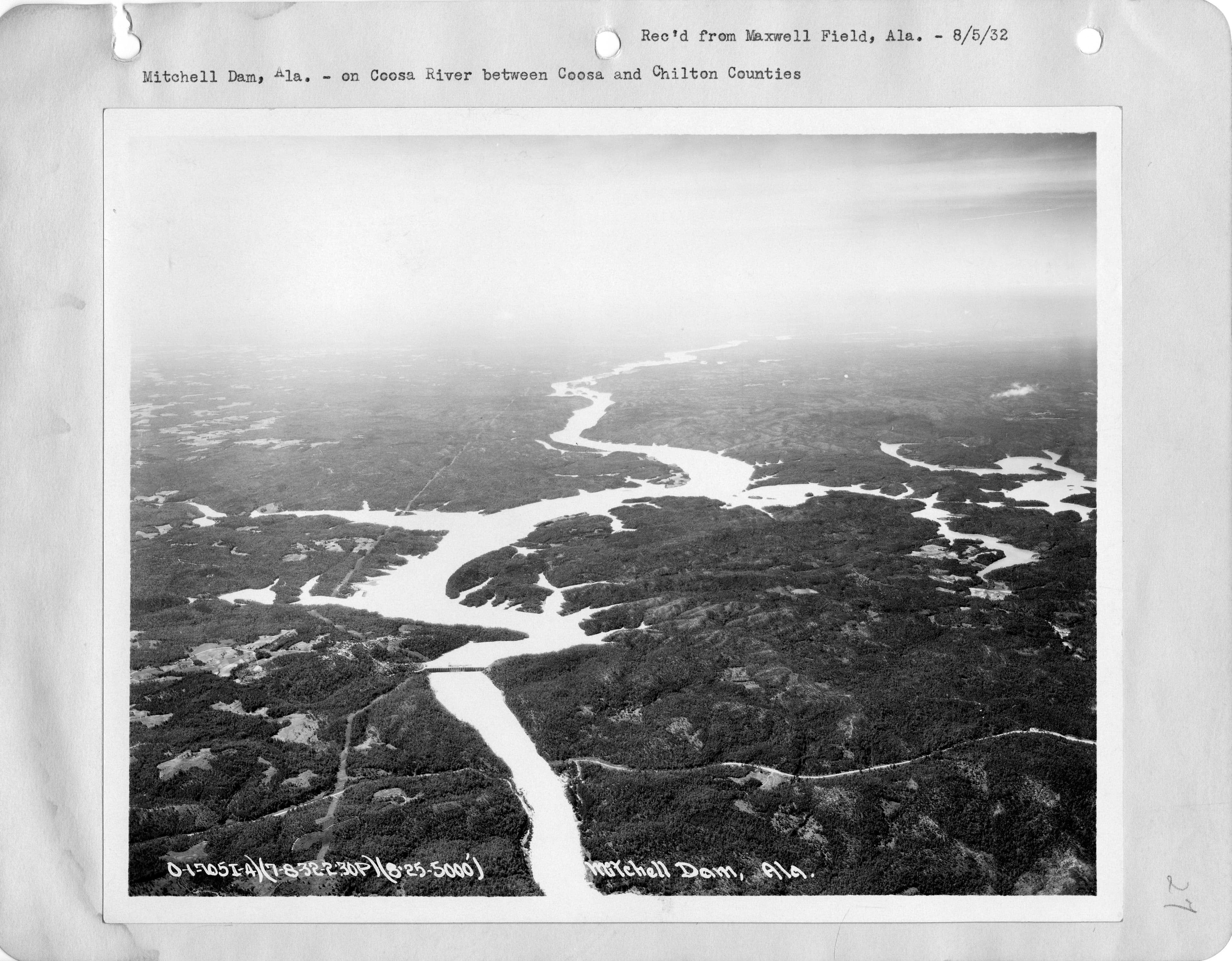
Mitchell Dam on the Coosa River in Alabama, the 1923 Alabama Power hydroelectric dam that impounds Lake Mitchell

Lake Mitchell Boat Ramps: Map and Directions

3 public boat ramps on Lake Mitchell. Tap a pin or a Directions button and your phone’s map takes you to the ramp.

Photo: U.S. National Archives and Records Administration · Public domain (PD-USGov, NARA)
Boat ramps on Lake Mitchell
Tap a pin for the ramp name and directions.
Ramp locations: Google Maps listings. Map tiles © OpenFreeMap / OpenStreetMap contributors.

Every ramp, with directions

Higgins Ferry Public Boat Launch

Clanton, Alabama · 32.85853, -86.45323

★ 4.6 from 97 Google reviews

➤ Directions

Mitchell Lake State Ramp

Rockford, Alabama · 32.85885, -86.39594

★ 4.5 from 29 Google reviews

➤ Directions

Barrett park and Boat ramp

Rockford, Alabama · 32.85894, -86.39622

★ 4.8 from 9 Google reviews

➤ Directions

Ramp names, locations and ratings come from Google Maps listings, checked 2026-11-11. Fees, hours and water-level closures are not listed there, so check with the ramp owner before you tow.

Ramps with Atlas launch notes

Higgins Ferry Park Boat Ramp · ClantonMitchell Dam Public Access · VerbenaHatchet Creek Public Access · RockfordLay Dam Tailrace Access (Upper Mitchell) · Clanton

More for a day on Lake Mitchell

Lake Mitchell fishing guide →Bait shops in ClantonBait shops in RockfordLake Mitchell Marina & GrilleBlue Creek Marina of VerbenaGraces Marina on Lake MitchellAll Alabama boat ramps