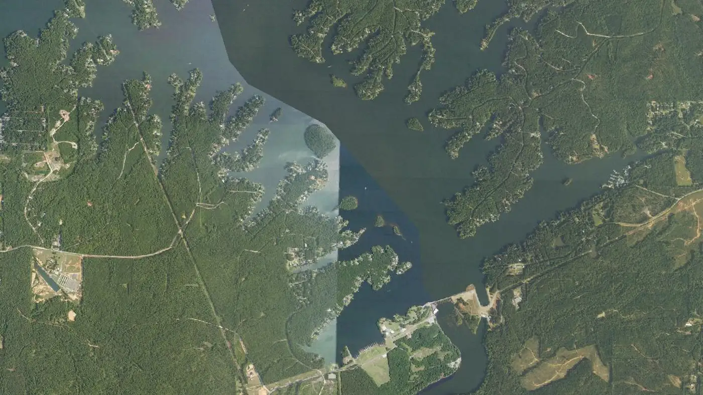
Home › Ramps › Chattahoochee Valley Recreation Park Ramp Chattahoochee Valley Recreation Park Ramp Boat ramp on Lake Harding near Valley, Alabama.
City Valley
Type concrete The public ramp at Chattahoochee Valley Recreation Park, off Lee County Road 380. The upper of the three Alabama ramps and the closest to the fall bass water above Blanton Creek.
Where Lake Harding sits
Shaded: county lines this water touches. Dots link to each lake guide.
Map of Alabama showing Lake Harding Autauga County Baldwin County Barbour County Bibb County Blount County Bullock County Butler County Calhoun County Chambers County Cherokee County Chilton County Choctaw County Clarke County Clay County Cleburne County Coffee County Colbert County Conecuh County Coosa County Covington County Crenshaw County Cullman County Dale County Dallas County DeKalb County Elmore County Escambia County Etowah County Fayette County Franklin County Geneva County Greene County Hale County Henry County Houston County Jackson County Jefferson County Lamar County Lauderdale County Lawrence County Lee County Limestone County Lowndes County Macon County Madison County Marengo County Marion County Marshall County Mobile County Monroe County Montgomery County Morgan County Perry County Pickens County Pike County Randolph County Russell County Shelby County St. Clair County Sumter County Talladega County Tallapoosa County Tuscaloosa County Walker County Washington County Wilcox County Winston County Lake Harding Lake Harding County lines: U.S. Census Bureau cartographic boundaries (2023). Lake positions: Atlas lake records.