AlabamaFishing Atlas
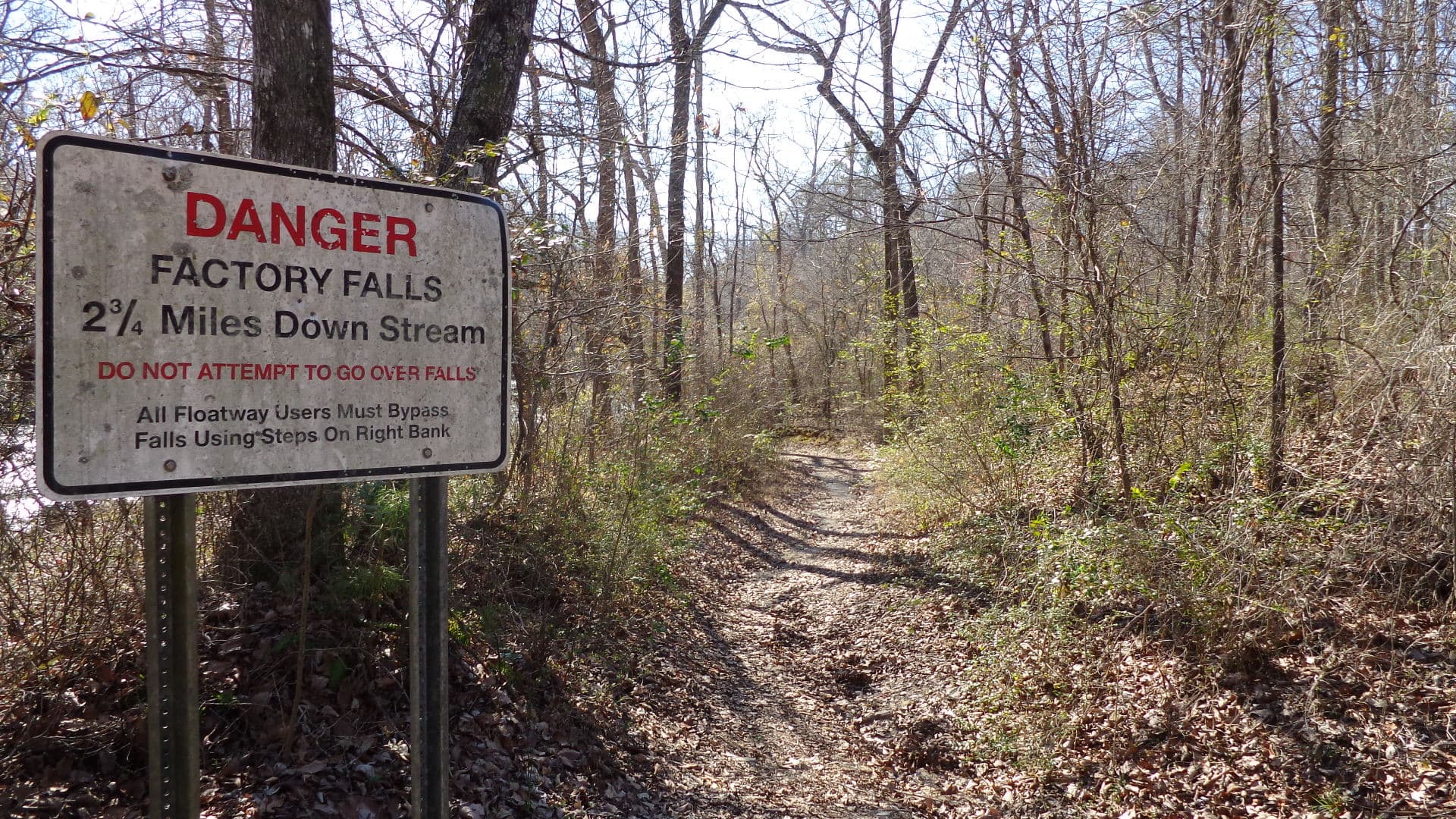
Bear Creek in Franklin County, Alabama — the parent watershed of Cedar Creek (a Bear Creek tributary that TVA impounds to form Cedar Creek Reservoir). Photo shows the flowing Bear Creek drainage, not the Cedar Creek pool itself.

Cedar Creek Reservoir Boat Ramps: Map and Directions

3 public boat ramps on Cedar Creek Reservoir. Tap a pin or a Directions button and your phone’s map takes you to the ramp.

Photo: john049 (via Panoramio) · CC BY-SA 3.0
Boat ramps on Cedar Creek Reservoir
Tap a pin for the ramp name and directions.
Ramp locations: Google Maps listings. Map tiles © OpenFreeMap / OpenStreetMap contributors.

Every ramp, with directions

Britton Bridge Boat Ramp

Russellville, Alabama · 34.51909, -87.88959

★ 4.4 from 19 Google reviews

➤ Directions

Lost Creek Boat Ramp

Russellville, Alabama · 34.54535, -87.90914

★ 4.3 from 8 Google reviews

➤ Directions

Hellum's Mill Boat Ramp

Russellville, Alabama · 34.51599, -87.94739

★ 4.5 from 2 Google reviews

➤ Directions

Ramp names, locations and ratings come from Google Maps listings, checked 2026-11-11. Fees, hours and water-level closures are not listed there, so check with the ramp owner before you tow.

Ramps with Atlas launch notes

Slickrock Boat Ramp · RussellvilleHellum's Mill Boat Ramp · RussellvilleBritton Bridge Boat Ramp · RussellvilleLost Creek Boat Ramp · Russellville

More for a day on Cedar Creek Reservoir

Cedar Creek Reservoir fishing guide →Bait shops in RussellvilleAll Alabama boat ramps