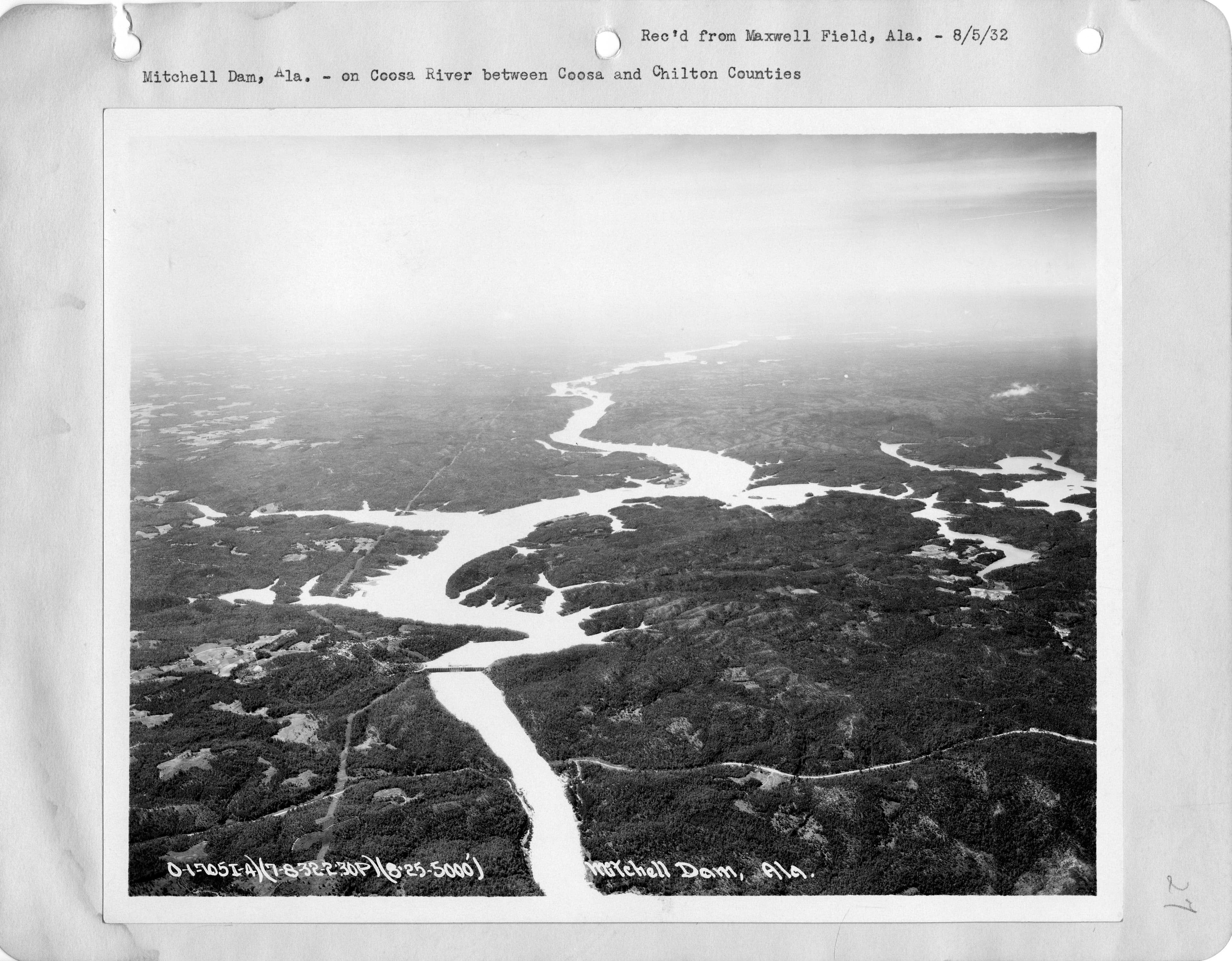
When does Mitchell Dam usually run?
Over the last 7 days the powerhouse was turning in 77 of 165 hourly readings, peaking at 10,977 cfs. It ran most often 1 PM–11 PM Central (on at least 4 of 7 days).
- ● Powerhouse generating (cfs)
- Empty gap = ○ not generating
That’s last week’s pattern, not a promise. Alabama Power posts tentative generation schedules on its lake pages at apcshorelines.com, and those can change with rain and power demand.
Last 30 days: this year vs. last year
Over the last 30 days the pool ranged from 310.64 to 311.94 ft. The Corps feed carries no guide-curve series for this lake, so there is no target line.
- This year (solid)
- Same dates last year (dashed)
Reading the water on Lake Mitchell
If you fish below Mitchell Dam or up the Coosa River arms, the powerhousenumber is the one to watch. Moving water pulls bait and sets fish up on current breaks; slack water can make a tailrace go quiet. The pool level tells you the rest — how much water is over the shallow cover, and whether that ramp you like still has enough at the end of it.
Full lake guide: Lake Mitchell fishing, structure and seasons. Launching? Find a boat ramp. Every lake on one board: Alabama lake levels.
Other Coosa River lakes: Weiss Lake · Neely Henry Lake · Logan Martin Lake · Lay Lake · Lake Jordan · Walter Bouldin Lake
Data source
Pool, guide-curve, powerhouse, spillway, release and tailwater numbers come straight from the U.S. Army Corps of Engineers Mobile District CWMS feed, where Alabama Power reports hourly readings.This page re-checks the feed every 15 minutes; readings usually land an hour or two after they are taken. A reading older than 3 hours is marked stale. Elevations are feet above mean sea level; flows are cubic feet per second (cfs). Page checked Nov 13, 11:17 AM CST.