AlabamaFishing Atlas
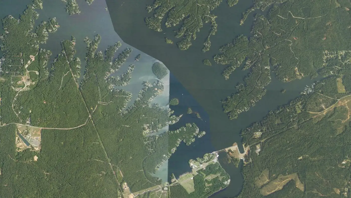
Aerial view of lower Lake Harding and Bartletts Ferry Dam on the Chattahoochee River

Lake Harding Fishing Piers and Bank Fishing Spots

Where to fish Lake Harding without a boat: 3 public piers and bank spots on record.

Photo: USDA National Agriculture Imagery Program (NAIP) · Public domain (U.S. government work)
Fishing piers on Lake Harding
Tap a pin for the pier name.
Pier locations: Google Maps listings. Map tiles © OpenFreeMap / OpenStreetMap contributors.

Piers on the map

Long bridge Fishing pier

Valley, Alabama · 32.69246, -85.14774

➤ Directions

Piers and bank access in the Atlas lake record

Long Bridge fishing pier

Halawakee Creek arm at Long Bridge, beside the Halawakee Creek ramp (Google Maps listing: Long bridge Fishing pier, Valley, AL)

➤ Find it on the map

Bartletts Ferry Dam tailrace bank access

Sandy Point Recreation Area, off Lee County Road 334 (bank fishing below the dam, on Goat Rock Lake)

➤ Find it on the map

Pier names and locations come from Google Maps listings and the sources cited on the lake page, checked 2026-11-11. Hours and fees change; check with the park before a long drive. An Alabama fishing license is required from a pier or the bank, same as from a boat.

More for a trip to Lake Harding

Lake Harding fishing guide →Boat ramps on Lake HardingCamping on Lake HardingAll Alabama fishing piers