AlabamaFishing Atlas
Weiss Lake, Alabama — Coosa River impoundment on the Alabama-Georgia line

Weiss Lake Boat Ramps: Map and Directions

6 public boat ramps on Weiss Lake. Tap a pin or a Directions button and your phone’s map takes you to the ramp.

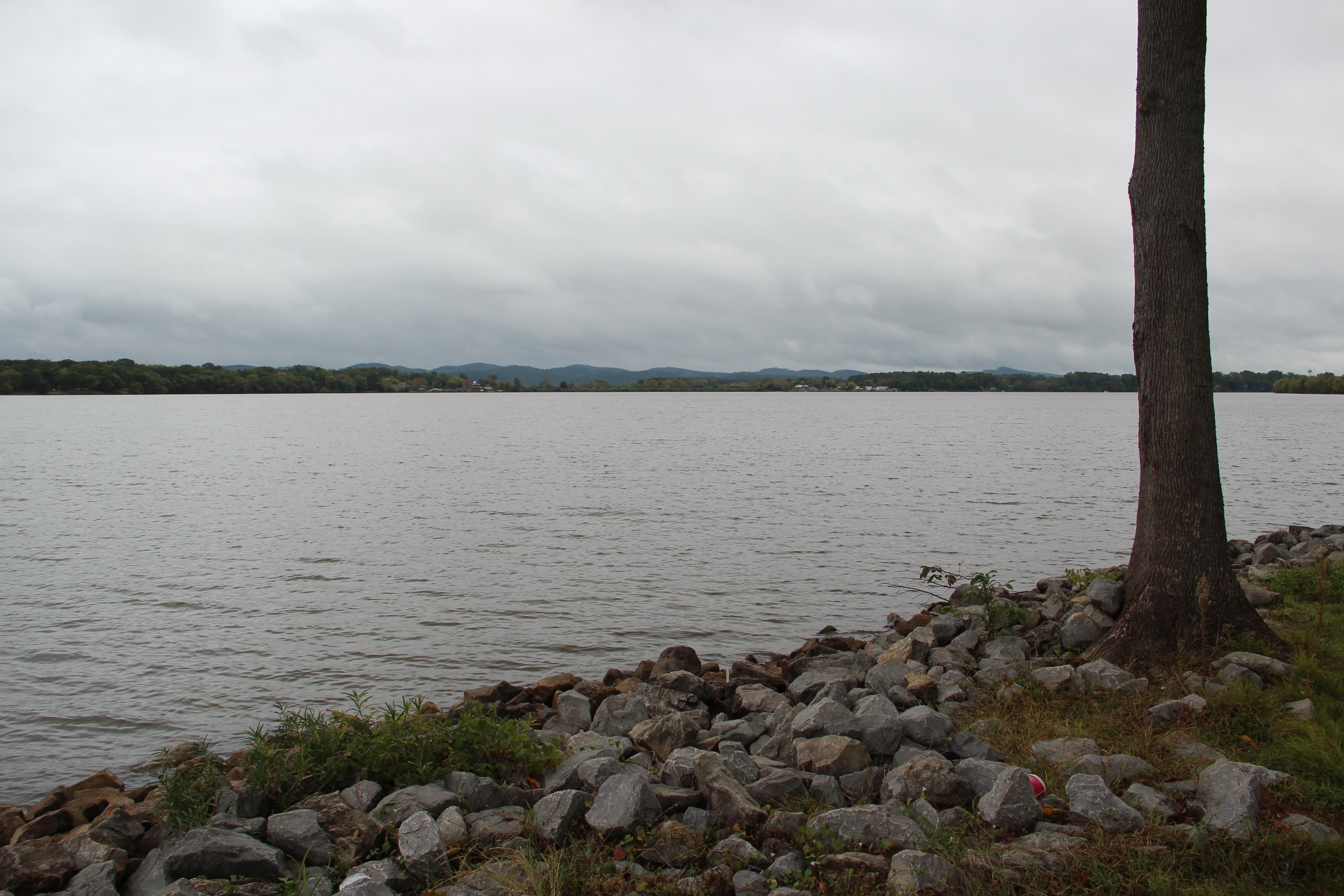
Photo: Thomson200 · CC0 / Public Domain
Boat ramps on Weiss Lake
Tap a pin for the ramp name and directions.
Ramp locations: Google Maps listings. Map tiles © OpenFreeMap / OpenStreetMap contributors.

Every ramp, with directions

Weiss Boat Ramp

Cedar Bluff, Alabama · 34.20179, -85.62192

★ 4.5 from 186 Google reviews

➤ Directions

Cobia Bridge Boat Ramp

Cedar Bluff, Alabama · 34.23745, -85.60239

★ 4.2 from 12 Google reviews

➤ Directions

Riverside Boat Launch

Cedar Bluff, Alabama · 34.21634, -85.55187

★ 4.4 from 5 Google reviews

➤ Directions

Weiss lake Bay Springs Boat Ramp

Centre, Alabama · 34.18207, -85.73502

★ 5 from 5 Google reviews

➤ Directions

Biggs' 411 Waterfront Campground boat ramp

Cedar Bluff, Alabama · 34.20266, -85.60751

➤ Directions

mr bigs rv boat ramp 2

SANDROCK, Alabama · 34.16889, -85.79015

➤ Directions

Ramp names, locations and ratings come from Google Maps listings, checked 2026-11-11. Fees, hours and water-level closures are not listed there, so check with the ramp owner before you tow.

Ramps with Atlas launch notes

Cedar Bluff Boat Ramp · Cedar BluffLittle River Marina Ramp · Cedar BluffStateline Marina Ramp · LeesburgBay Springs Landing · CentreWeiss Dam Tailrace Access · LeesburgChattooga Bridge Ramp · Cedar BluffEast Diversion Ramp · LeesburgMud Creek Ramp · Centre

More for a day on Weiss Lake

Weiss Lake fishing guide →Bait shops in CentreLittle River LandingBay Springs Country Inn MarinaBay Springs Marina, Dockside Fuel, & Bait shopAll Alabama boat ramps