AlabamaFishing Atlas
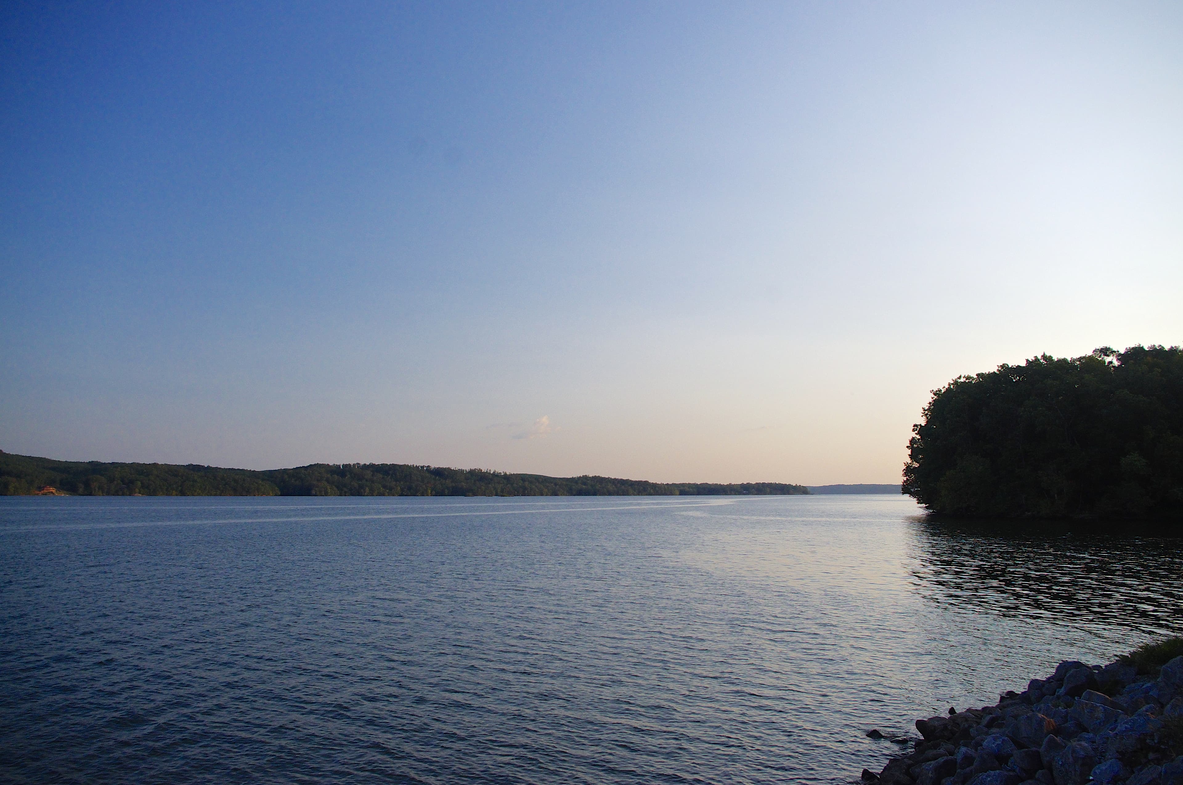
Pickwick Lake open water looking southwest from Waterloo, Alabama

Pickwick Lake Boat Ramps: Map and Directions

5 public boat ramps on Pickwick Lake. Tap a pin or a Directions button and your phone’s map takes you to the ramp.

Photo: Brian Stansberry · CC BY 4.0
Boat ramps on Pickwick Lake
Tap a pin for the ramp name and directions.
Ramp locations: Google Maps listings. Map tiles © OpenFreeMap / OpenStreetMap contributors.

Every ramp, with directions

Riverfront Boat Ramp

Sheffield, Alabama · 34.76701, -87.71193

★ 4.6 from 76 Google reviews

➤ Directions

Waterloo Boat Ramp

Waterloo, Alabama · 34.91604, -88.05861

★ 4.7 from 68 Google reviews

➤ Directions

Spring Creek Public Boat Ramp

Sheffield, Alabama · 34.74743, -87.72128

★ 4.5 from 47 Google reviews

➤ Directions

Cane Creek Boat Ramp

Cherokee, Alabama · 34.75440, -87.86119

★ 4.4 from 32 Google reviews

➤ Directions

Pride Landing

Tuscumbia, Alabama · 34.73286, -87.81731

★ 3.9 from 18 Google reviews

➤ Directions

Ramp names, locations and ratings come from Google Maps listings, checked 2026-11-11. Fees, hours and water-level closures are not listed there, so check with the ramp owner before you tow.

Ramps with Atlas launch notes

McFarland Park Boat Ramp · FlorenceColbert Park · Pride Station / SheffieldWaterloo Landing · Waterloo

More for a day on Pickwick Lake

Pickwick Lake fishing guide →All Alabama boat ramps