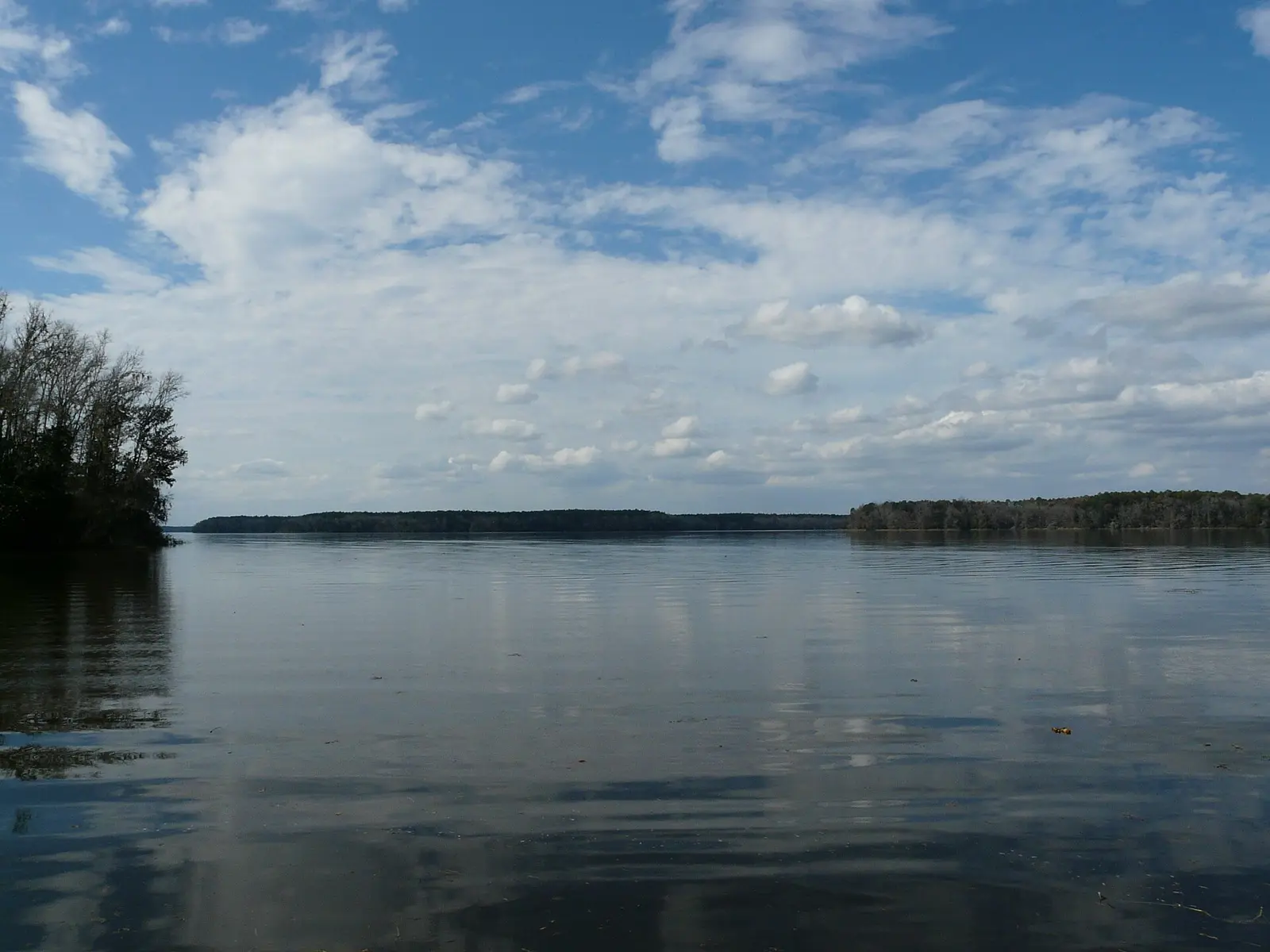
Ingram's Marina
Quincy, FL · 30.42187, -84.62555
➤ DirectionsQuincy, FL · 30.42187, -84.62555
➤ DirectionsQuincy, FL · 30.44223, -84.57757
➤ DirectionsQuincy, FL · 30.45972, -84.49859
➤ DirectionsQuincy, FL · 30.41580, -84.63600
➤ DirectionsQuincy, FL · 30.42107, -84.62577
➤ DirectionsTallahassee, FL · 30.40678, -84.61006
➤ DirectionsTallahassee, FL · 30.39792, -84.63141
➤ DirectionsTallahassee, FL · 30.45529, -84.48299
➤ DirectionsTallahassee, FL · 30.40378, -84.59592
➤ DirectionsTallahassee, FL · 30.43926, -84.52922
➤ DirectionsTallahassee, FL · 30.39229, -84.64035
➤ DirectionsTallahassee, FL · 30.42032, -84.57139
➤ DirectionsTallahassee, FL · 30.40266, -84.61236
➤ DirectionsTallahassee, FL · 30.44844, -84.52152
➤ DirectionsRamp names, locations and ratings come from Google Maps listings, checked 2026-11-11. Fees, hours and water-level closures are not listed there, so check with the ramp owner before you tow.