AlabamaFishing Atlas
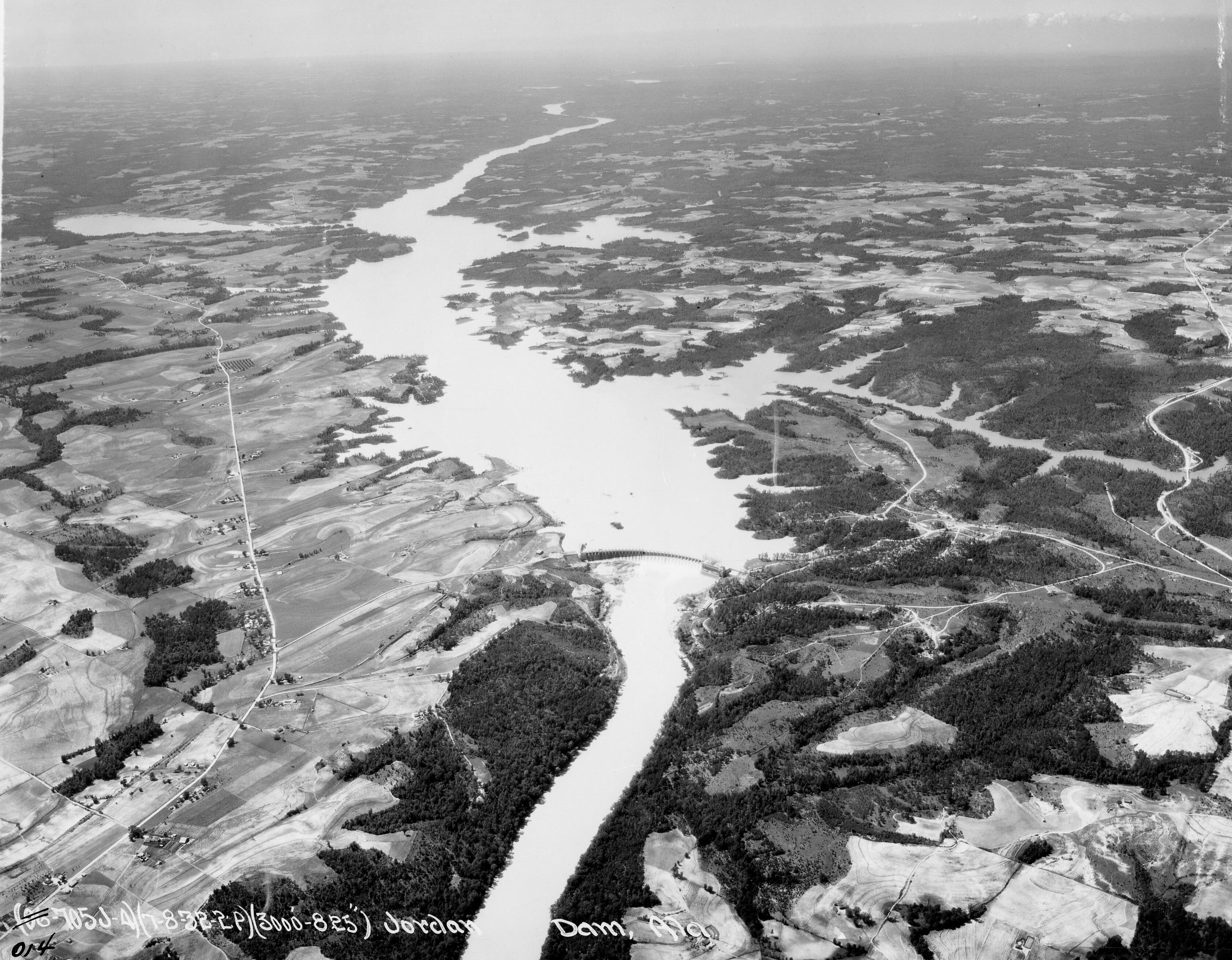
Aerial photograph of Jordan Dam on the Coosa River in Alabama, the 1928 Alabama Power hydroelectric dam that created Lake Jordan

Lake Jordan Boat Ramps: Map and Directions

4 public boat ramps on Lake Jordan. Tap a pin or a Directions button and your phone’s map takes you to the ramp.

Photo: War Department, Army Air Forces (NARA holding) · Public domain (PD-US Air Force, NARA 23933405)
Boat ramps on Lake Jordan
Tap a pin for the ramp name and directions.
Ramp locations: Google Maps listings. Map tiles © OpenFreeMap / OpenStreetMap contributors.

Every ramp, with directions

Lake Jordan Boat Ramp

Wetumpka, Alabama · 32.63634, -86.29773

★ 4.6 from 271 Google reviews

➤ Directions

Jordan Lake State Ramp

Wetumpka, Alabama · 32.63021, -86.26586

★ 4.8 from 78 Google reviews

➤ Directions

Jordan Dam Rapids Road Ramp

Wetumpka, Alabama · 32.61470, -86.25376

★ 4.5 from 67 Google reviews

➤ Directions

Camp Chandler Boat Ramp

Wetumpka, Alabama · 32.63011, -86.26561

★ 5 from 6 Google reviews

➤ Directions

Ramp names, locations and ratings come from Google Maps listings, checked 2026-11-11. Fees, hours and water-level closures are not listed there, so check with the ramp owner before you tow.

Ramps with Atlas launch notes

Bonner's Point Landing (Public Access) · TitusLake Jordan Public Access (Bullfrog / Hwy 111) · WetumpkaCastaway Island Ramp · Titus

More for a day on Lake Jordan

Lake Jordan fishing guide →Bait shops in DeatsvilleAll Alabama boat ramps