AlabamaFishing Atlas
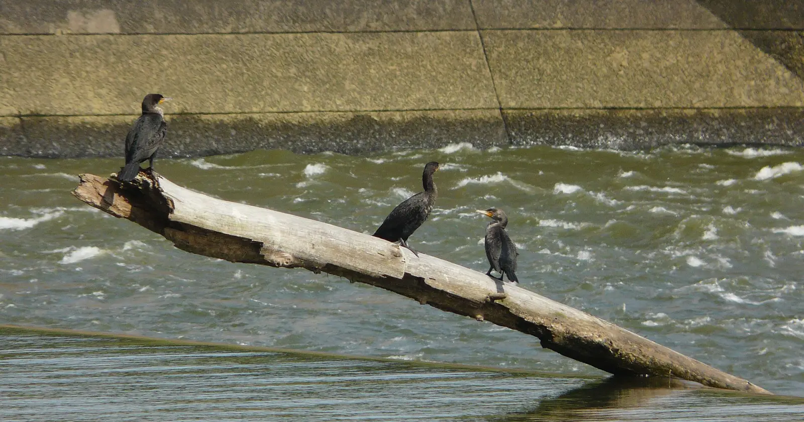
Three cormorants on a log in the Chattahoochee River at George W. Andrews Lock and Dam

George W. Andrews Lake Boat Ramps: Map and Directions

5 public boat ramps on George W. Andrews Lake. Tap a pin or a Directions button and your phone’s map takes you to the ramp.

Photo: The Bushranger · CC BY-SA 4.0
Boat ramps on George W. Andrews Lake
Tap a pin for the ramp name and directions.
Ramp locations: Google Maps listings. Map tiles © OpenFreeMap / OpenStreetMap contributors.

Every ramp, with directions

Columbia Boat Ramp

Columbia, Alabama · 31.28280, -85.10730

➤ Directions

Omussee Creek Park Boat Ramp

Columbia, Alabama · 31.27620, -85.11610

➤ Directions

Coheelee Creek Park Boat Ramp

Early County, GA · 31.30850, -85.08600

➤ Directions

Odom Creek Park Boat Ramp

Early County, GA · 31.37450, -85.08570

➤ Directions

Abbie Creek Park Boat Ramp

Henry County, Alabama · 31.41160, -85.08040

➤ Directions

Ramp names, locations and ratings come from Google Maps listings, checked 2026-11-11. Fees, hours and water-level closures are not listed there, so check with the ramp owner before you tow.

Ramps with Atlas launch notes

Columbia Boat Ramp · ColumbiaOmussee Creek Park Boat Ramp · ColumbiaCoheelee Creek Park Boat Ramp · Early County, GAOdom Creek Park Boat Ramp · Early County, GAAbbie Creek Park Boat Ramp · Henry County

More for a day on George W. Andrews Lake

George W. Andrews Lake fishing guide →All Alabama boat ramps