AlabamaFishing Atlas
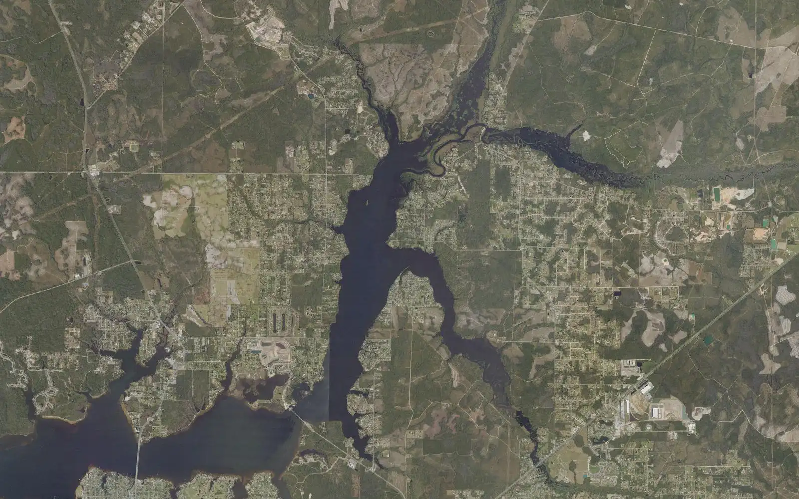
Aerial view of Deer Point Lake

Deer Point Lake Boat Ramps: Map and Directions

6 public boat ramps on Deer Point Lake. Tap a pin or a Directions button and your phone’s map takes you to the ramp.

Photo: USDA National Agriculture Imagery Program (NAIP) · Public domain (U.S. government work)
Boat ramps on Deer Point Lake
Tap a pin for the ramp name and directions.
Ramp locations: Google Maps listings. Map tiles © OpenFreeMap / OpenStreetMap contributors.

Every ramp, with directions

Bayhead North Public Boat Ramp

Youngstown, FL · 30.31732, -85.57759

➤ Directions

Bayhead South Public Boat Ramp

Youngstown, FL · 30.30486, -85.57365

➤ Directions

David W. Hutchinson Park Boat Ramp

Youngstown, FL · 30.33188, -85.55816

➤ Directions

Duppie Lane Canoe Access

Youngstown, FL · 30.34014, -85.55697

➤ Directions

Ira Hutchinson Park and Public Boat Ramp

Panama City, FL · 30.26666, -85.60325

➤ Directions

McCall-Everitt Park - Deer Point Lake Draw Down Boat Ramp

Panama City, FL · 30.27064, -85.60684

➤ Directions

Ramp names, locations and ratings come from Google Maps listings, checked 2026-11-11. Fees, hours and water-level closures are not listed there, so check with the ramp owner before you tow.

Ramps with Atlas launch notes

David W. Hutchinson Park Boat Ramp · Youngstown, FLIra Hutchinson Park Boat Ramp · Panama City, FLMcCall-Everitt Park Boat Ramp · Panama City, FLBayhead North Public Boat Ramp · Youngstown, FL

More for a day on Deer Point Lake

Deer Point Lake fishing guide →All Alabama boat ramps