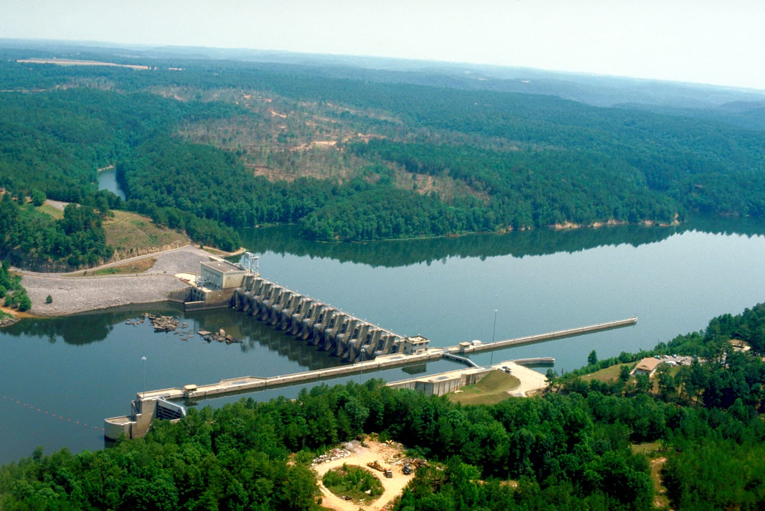
When does Holt Lock & Dam usually run?
Over the last 7 days the powerhouse was turning in 15 of 165 hourly readings, peaking at 11,032 cfs. It ran most often 6 PM–8 PM Central (on at least 4 of 7 days).
- ● Powerhouse generating (cfs)
- Empty gap = ○ not generating
That’s last week’s pattern, not a promise. Alabama Power posts tentative generation schedules on its lake pages at apcshorelines.com, and those can change with rain and power demand.
Last 30 days: this year vs. last year
Over the last 30 days the pool ranged from 185.94 to 186.88 ft. The Corps feed carries no guide-curve series for this lake, so there is no target line.
- This year (solid)
- Same dates last year (dashed)
Reading the water on Holt Reservoir
If you fish below Holt Lock & Dam or up the Black Warrior River arms, the powerhousenumber is the one to watch. Moving water pulls bait and sets fish up on current breaks; slack water can make a tailrace go quiet. The pool level tells you the rest — how much water is over the shallow cover, and whether that ramp you like still has enough at the end of it.
Full lake guide: Holt Reservoir fishing, structure and seasons. Launching? Find a boat ramp. Every lake on one board: Alabama lake levels.
Other Black Warrior River lakes: Lewis Smith Lake · Bankhead Lake
Data source
Pool, guide-curve, powerhouse, spillway, release and tailwater numbers come straight from the U.S. Army Corps of Engineers Mobile District CWMS feed, where Alabama Power reports hourly readings.This page re-checks the feed every 15 minutes; readings usually land an hour or two after they are taken. A reading older than 3 hours is marked stale. Elevations are feet above mean sea level; flows are cubic feet per second (cfs). Page checked Nov 13, 12:11 PM CST.