AlabamaFishing Atlas
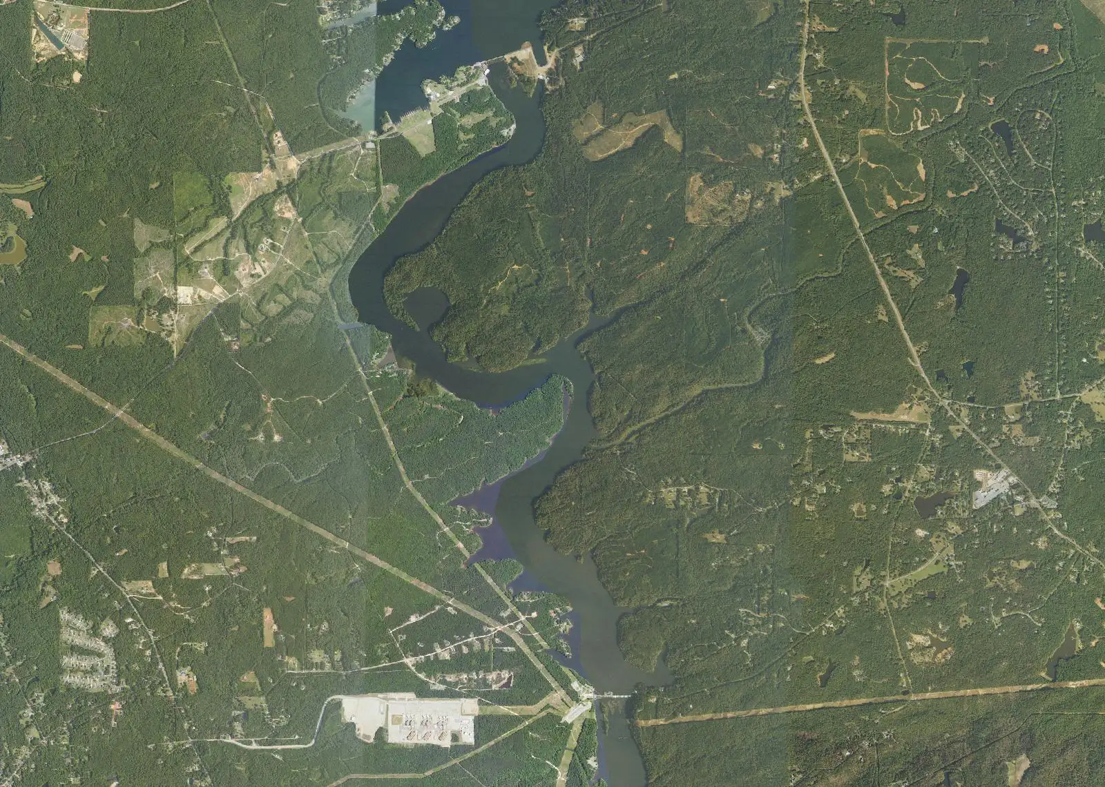
Aerial view of Goat Rock Lake on the Chattahoochee River, from Bartletts Ferry Dam down to Goat Rock Dam

Fishing Near Smiths Station, Alabama

1 lake nearest Smiths Station, drawn from the Atlas lake directory.

Photo: USDA National Agriculture Imagery Program (NAIP) · Public domain (U.S. government work)

Goat Rock Lake

A small Georgia Power lake on the Chattahoochee, below Lake Harding and above Lake Oliver, with Alabama on the west bank and Georgia on the east. Three launch sites are mapped here with GPS.

About 940 acresMax depth N/A (not published by the sources we checked)
See full lake profile →
Lakes near Smiths Station
Map of Alabama showing Goat Rock LakeAutauga CountyBaldwin CountyBarbour CountyBibb CountyBlount CountyBullock CountyButler CountyCalhoun CountyChambers CountyCherokee CountyChilton CountyChoctaw CountyClarke CountyClay CountyCleburne CountyCoffee CountyColbert CountyConecuh CountyCoosa CountyCovington CountyCrenshaw CountyCullman CountyDale CountyDallas CountyDeKalb CountyElmore CountyEscambia CountyEtowah CountyFayette CountyFranklin CountyGeneva CountyGreene CountyHale CountyHenry CountyHouston CountyJackson CountyJefferson CountyLamar CountyLauderdale CountyLawrence CountyLee CountyLimestone CountyLowndes CountyMacon CountyMadison CountyMarengo CountyMarion CountyMarshall CountyMobile CountyMonroe CountyMontgomery CountyMorgan CountyPerry CountyPickens CountyPike CountyRandolph CountyRussell CountyShelby CountySt. Clair CountySumter CountyTalladega CountyTallapoosa CountyTuscaloosa CountyWalker CountyWashington CountyWilcox CountyWinston CountyGoat Rock LakeGoat Rock Lake
County lines: U.S. Census Bureau cartographic boundaries (2023). Lake positions: Atlas lake records.